Firstly, this was a long tough day so I won’t write too much (as its likely to be complaining), and secondly, I thought I had cracked getting my camera photos onto my phone, but I haven’t (need wifi) so there will be less photos! I got away by 8:30 and followed the North Sea Route, or NordZee as I got nearer Belgium. First stop was for cash and a coffee in Watten, but the cafe didn’t have croissants, so I knew I would schedule a second breakfast.

It was a Saturday and loads of cyclists out, and the first obstacle were a couple of big hills. As I started a whole stream of cyclists came by each one with a puffed out “bonjour”. Clearly they weren’t going to let a guy with panniers beat them. At one point I needed to stop to take in the view of two 2CVs and a windmill, I think my touristic reason were clear, and nobody thought I was puffed out.

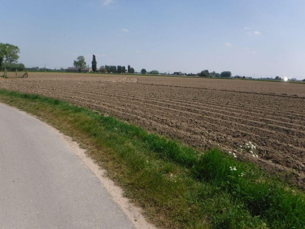
Whilst waiting for a suitable gap to rejoin, I detected some more familiar curses, underneath the “bonjour”. It seems a lot of the riders were British – I don’t know where they were going. As I’ve already said, the wind made progress hard and after a few hills it was on flatlands and followed the coast about 20 km inland. Any trees or buildings provided relief, but it was heading down slow pedalling all day.
Second breakfast was in Wormhout, and consisted of a Croissant and a Cafe Éclair. I carried them to eat enroute, but soon came across a road closed and “deviation”. I thought i could slip through but the guy on the barrier said no, and pointed in a vague direction (the wrong way). I sat on a bench to look at my map, and eat the food. Any diversion looked messy, and I had no idea where the blockage was on these tiny roads. Luckily, as I finished enjoying the Cafe Éclair, he moved the barriers – a real result. Next stop was crossing into Belgium, a seamless affair, although the did have a sculpture of a border official.


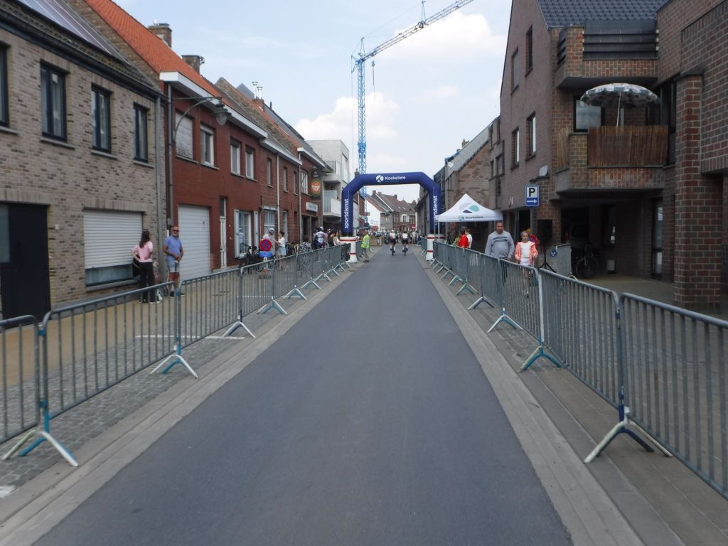
My route followed a north easterly path for nearly 100 km and the wind didn’t really let up all day. One thing that relieved the boredom was finding myself in a cycling race. An official held up traffic until the peloton had passed and I then joined the course. The tail enders were still passing me. Looking at strava, I think they only had a small circuit which explains why they were going so fast.
I got my first puncture just before Lo, all my own fault, as I was trying to photograph a windmill and my back wheel slipped on a very sharp kerb at an acute angle. The weight and angle must have pinched the tube. I rushed a repair, and had to do it again, so there is a lesson there! Lo was my planned lunch stop, and l found a water tap that wasn’t on Open Street Map, so I logged it for inclusion.


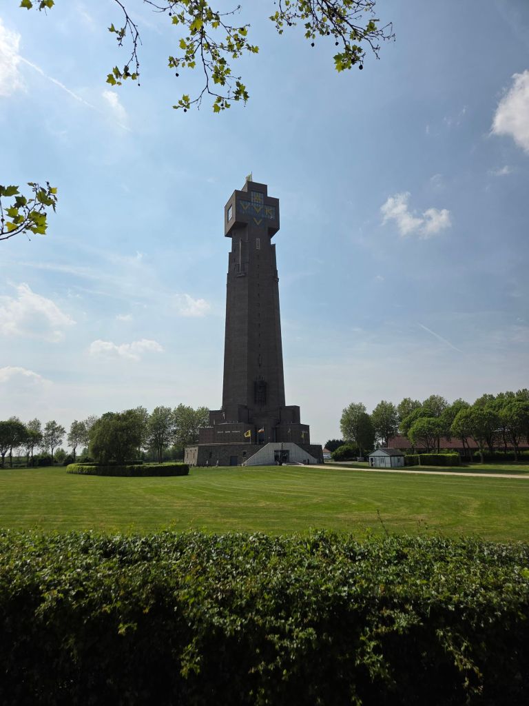
A huge tower appeared on the horizon. Initially I thought it was a big cross, then some form of factory complex. It was infact the Yser Towers, which marked a significant battle and the Belgian front line in WW1, its quite a memorial. Interesting, it was demolished during WW2 but rebuilt exactly the same (but taller) in the 1960s, and houses a peace museum.


The route turned fully to the east at Brugge and the wind became more of an assistance. No as much as I would have liked, but not as bad. For the rest of the way it was all on the Cycle path of the Gent-Brugge canal with lots of other cyclists. I found myself cycling at over 20 km/hr – a big difference at struggling along under 15 km/hr.

I had two plans, either camp just before Gent, or find accommodation in Gent. I couldn’t see anything in Gent that grabbed me, so I headed for a farm campsite, and the Zomerbar next door. Sounded good, but in real life was completely deserted. It had a toilet and a tap, so had everything I needed. I dropped a text to the number on a faded sign and decided to pitch.


I had a plan to cycle to a local “fritterie”, but just ate what food I had and was in my sleeping bag by 9pm.

