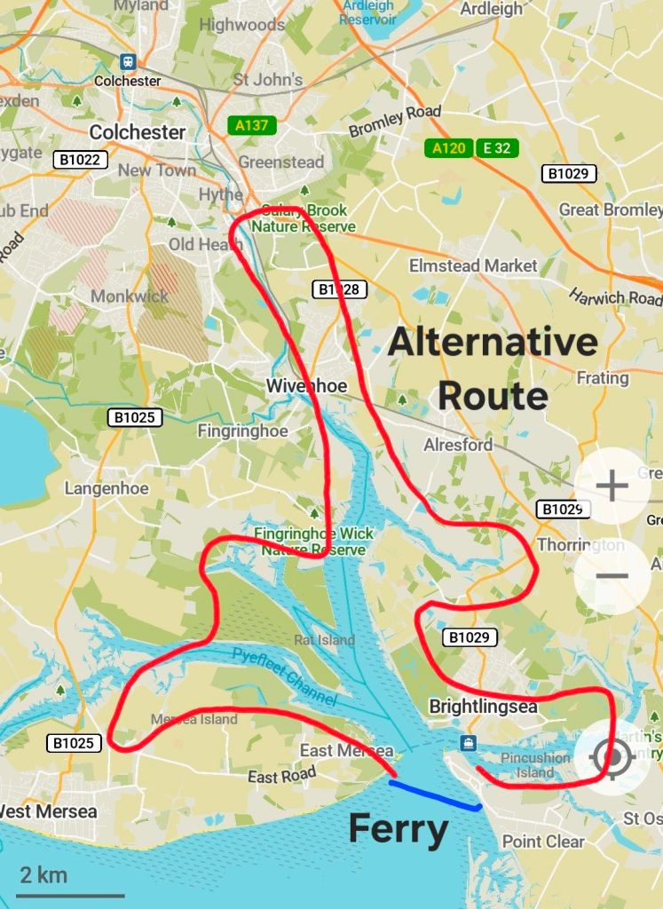
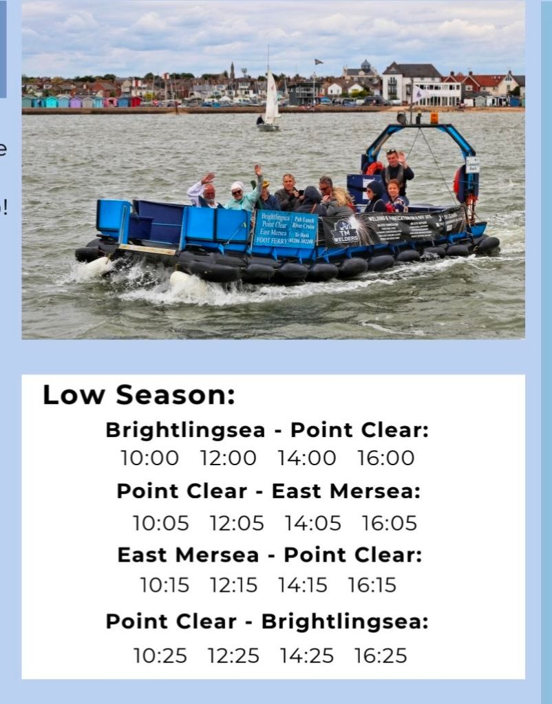
I’m back on the coast path! I’m declaring that the South Devon Coast is complete (I’m choosing to ignore the last 10 km into Plymouth, which will be easy to pick up when I start Cornwall), so I have walked from London Bridge all the way to (almost) Plymouth. This has taken 49 days, and 1,260 km (870 miles) of walking. To give me a winter project, I am moving onto the Essex Coast. I will continue walking in a clockwise direction which means I start at the furthest point, Harwich, and walk towards London as the days get shorter. It seems like a good plan, but there are some seasonal ferries which mean a very long walk along estuaries if I don’t catch them. The main constraint is the Brightlingsea ferry to Mersea Island, which avoids a multi-day walk along the River Colne into Colchester and back. The ferry only runs until the end of September, and with a few other things I have on it is a bit of a rush to catch it (halfway through Day 3 of the coast path).
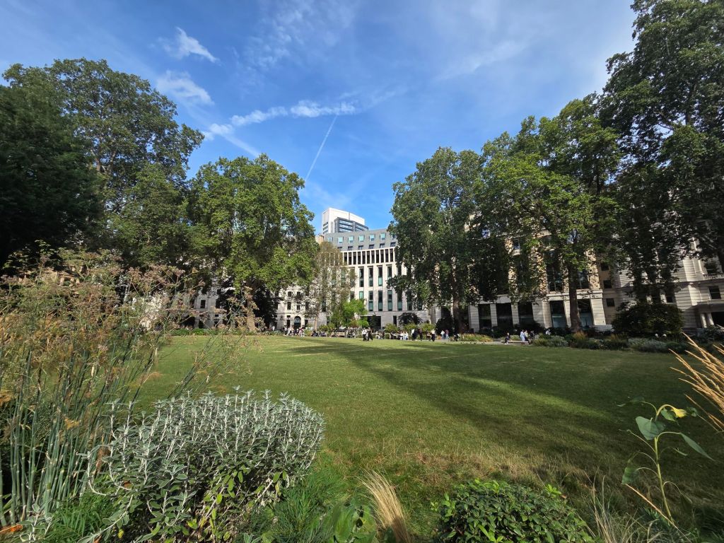
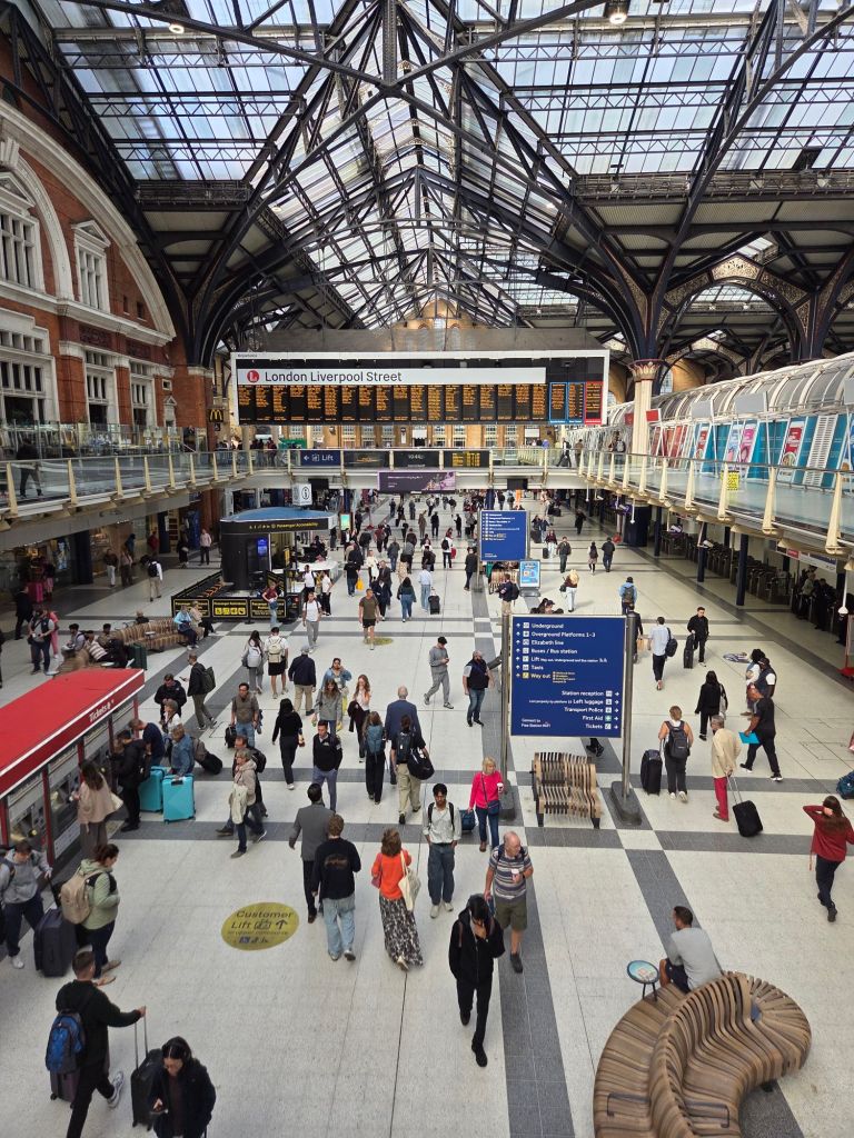
Anyway, I was planning on catching the 9.25am train from Burgess Hill, which would see me walking just after midday, so I had a slowish start to the morning. Until I discovered my boots were in my car, parked a few streets away. This resulted in the need to jog to the railway station! The National Rail website gave me an itinerary through London, to Liverpool Street Station via Farringdon, but when we arrived at London Bridge a fashionable six minutes later I decided to go off piste and catch the Northern Line tube. I’m sure this saved time, and let me walk through Finsbury Circus which is a very nice open space.
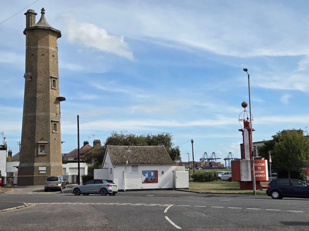
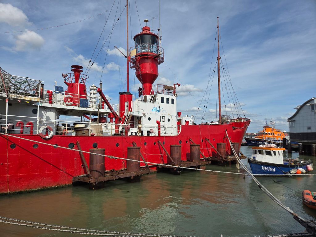
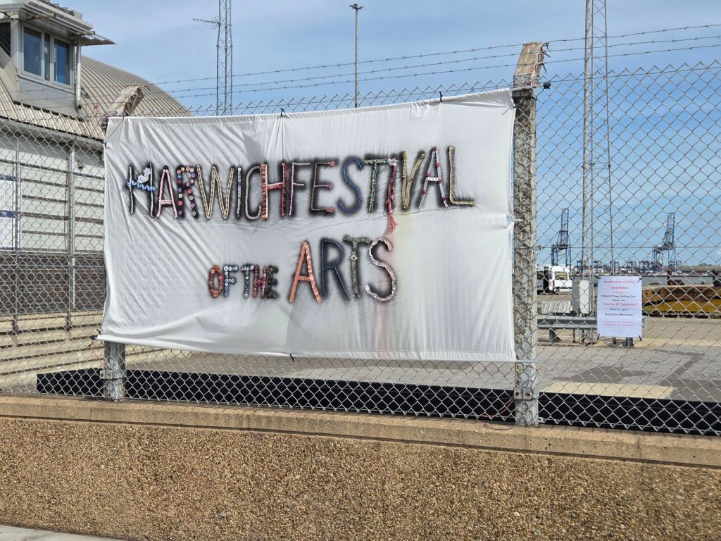
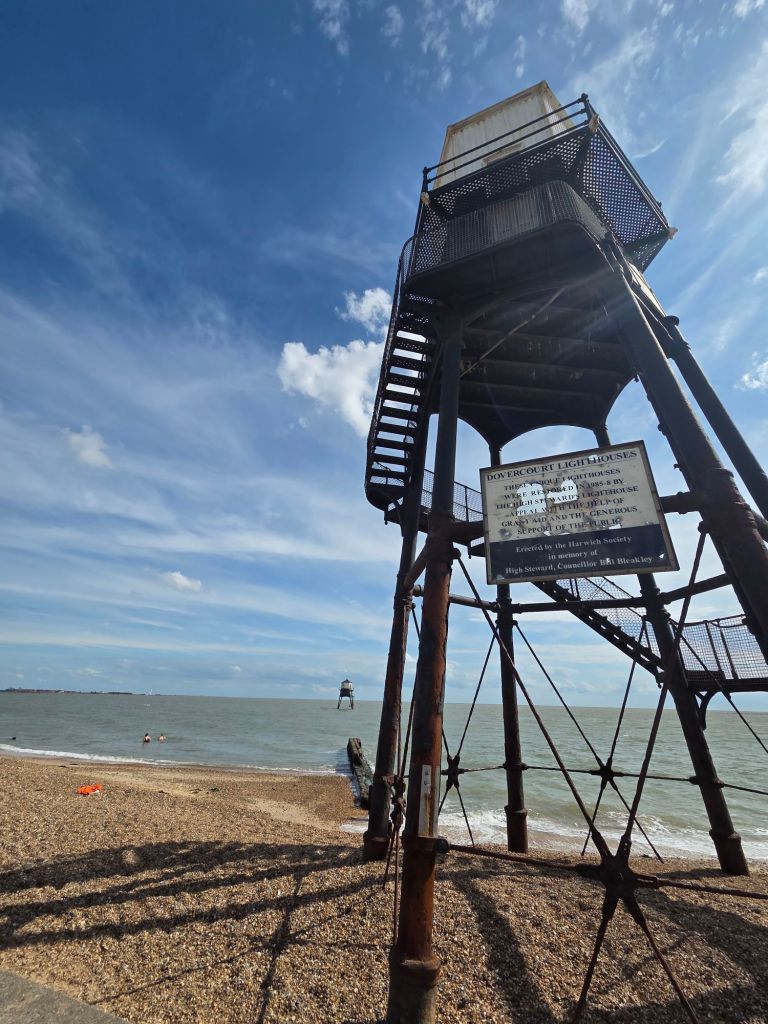
I got to Harwich Town on time (12:25), and started walking straightaway. I am up against a latest check in time of 7pm for this evenings accommodation, with a £20 penalty for every 15 minutes over. It is good value, as long as I get there on time! I’ve been to Harwich many times, to catch the Hook of Holland ferry, but never been in to the town centre. I must admit to not seeing much this time as the coast path takes a route around the outside of the Harwich peninsula. There was lots of light ships, a big Trinity House base (lighthouses) and a RNLI lifeboat station – I really must make a donation.
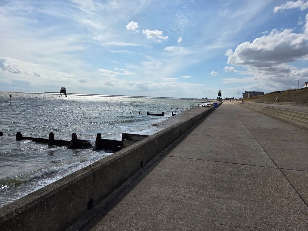
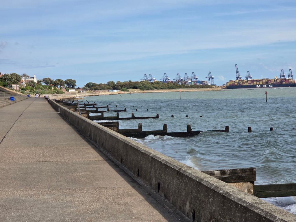
The path soon reached a promenade and turned south. It was easy to imagine a perfect seaside resort, until you turned around and the docks of Felixstowe loomed across the estuary (in Suffolk, a future coast path project). There is a ferry from Harwich to Felixstowe.
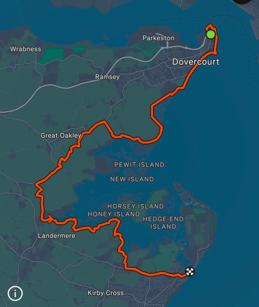
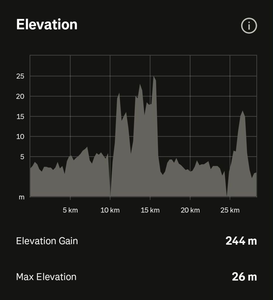
After the promenade, the path became more rural and followed the sea defences inland around a large marsh area. This would continue for most of the day, and the walk was in splendid solitude, without seeing a single other walker all day. I had been seeing a tower on the horizon that was getting closer, I looked it up on the map and it was on the Walton headland, and only 5 km away, but I wouldn’t walk past until tomorrow. I found I needed to walk miles inland to get around the marshes, about another 20 km. My route was across a really nice landscape of huge wide fields, occasional woodland which reminded my that autumn is coming, and some surprising small hills which I wasn’t expecting.
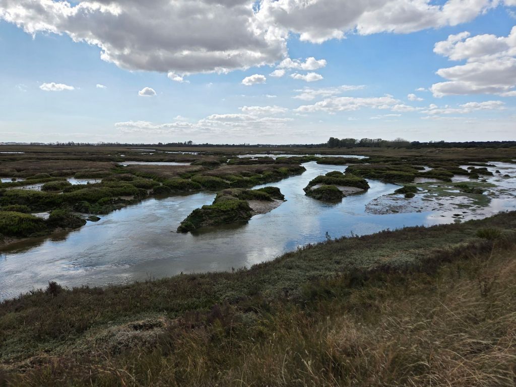
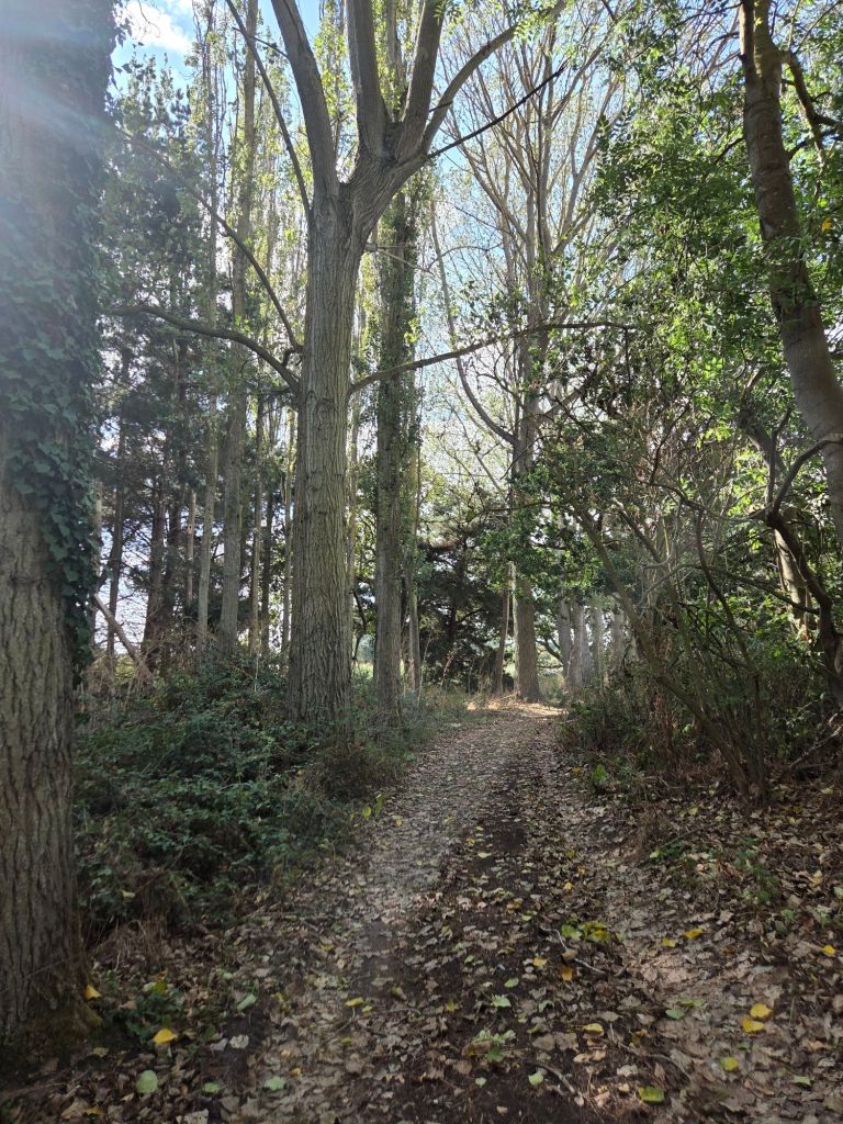
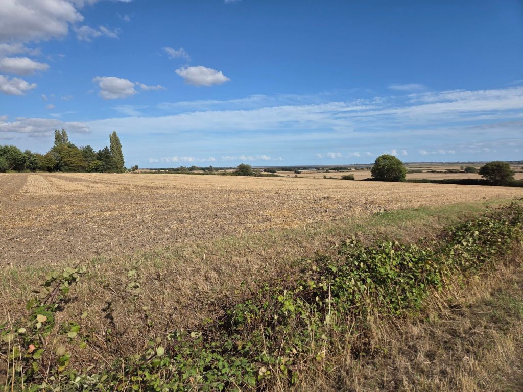
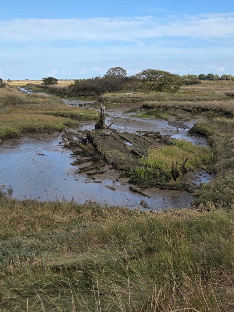
There were two sections where I had to follow roads. They were relatively short, less than 1 km, but took some special handling with bendy roads, a low sun and I (stupidly) was dressed from head to toe in grey! I reached the head of the marsh, and crossed over to the other side of a river. There was a wreck at this point, which my map said was the “Rose”. This was quite apt as I was feeling a wreck. I’d been racing against the clock to this point, which was about 15 km and halfway. I got here in just under 2.5 hours, which is a bit of a record for me.
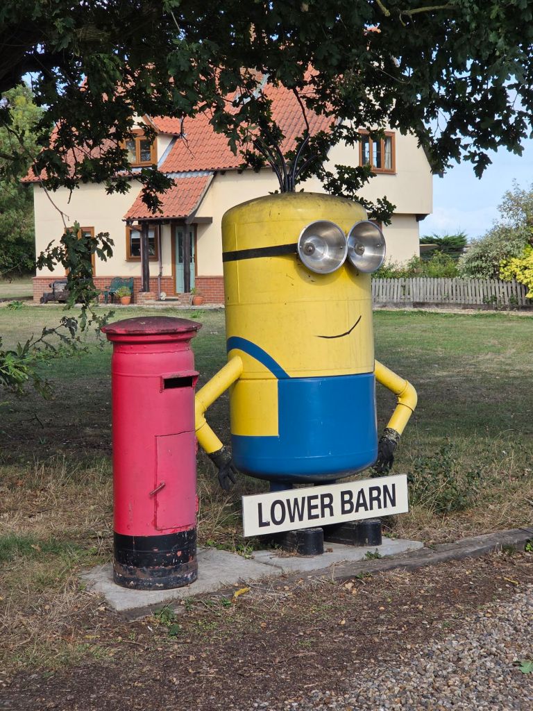
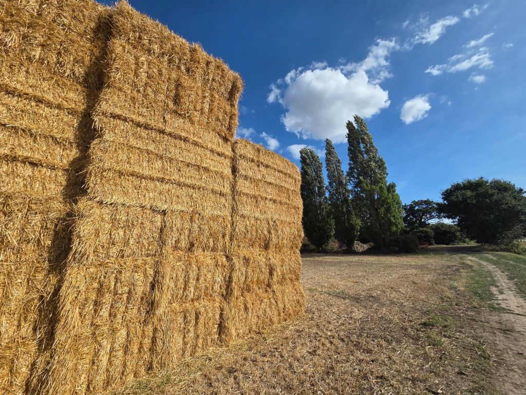
I’d promised myself lunch at 15km, but there was nowhere to sit down. Eventually at 20km I just flopped down on the grass, desperate for a rest. Even in the few minutes it took to eat a (M&S Liverpool Street Station) sandwich, I’d seized up solid and spent a few minutes rolling around trying to stand up. It’s lucky nobody was around to see it! The path continued to follow the edge of the marsh, which seemed so still and remote. The stillness was broken when I heard an ice cream van nearby. It was playing the “Teddy Bear’s Picnic” which meant that civilisation and Walton on the Naze was close. Incidentally, when I flopped on my hotel bed and put the telly on, Car SOS was renovating a really, really rusty Bedford HA ice cream van – that played the “Blue Danube” – much more classy!
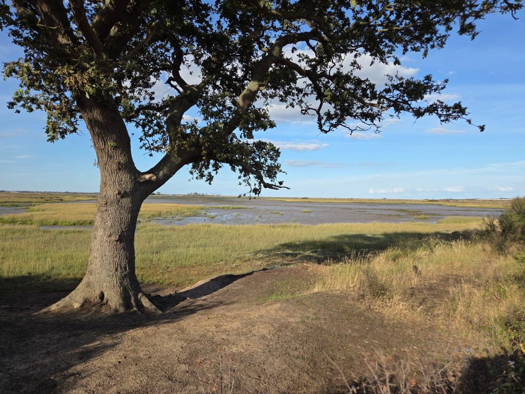
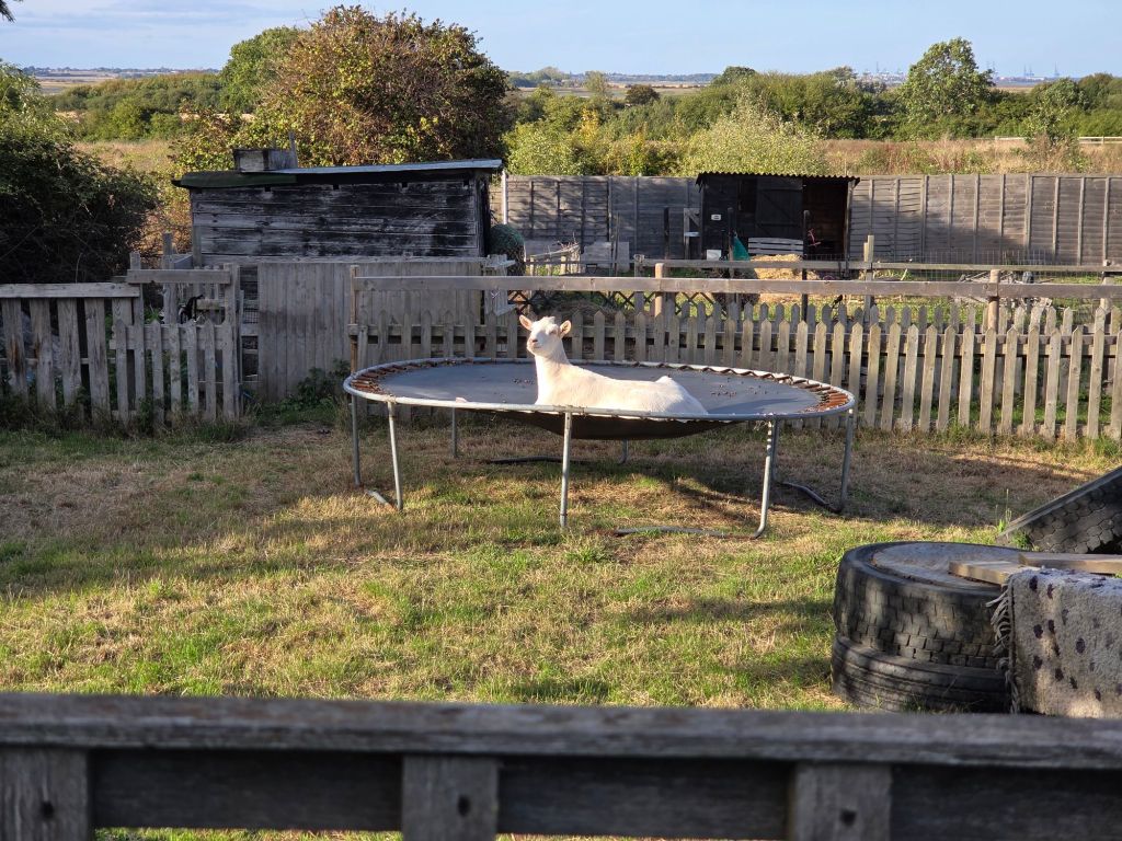
It was a (or probably – seemed) long road walk into Walton. I sat on the first bench I passed, which was luxurious as I hadn’t seen a bench for at least four hours. I made it to my lodgings by 6.10, thereby avoiding any late penalty. I was tired, but still found time to write this and do some change of my plans for tomorrow. Im going to try to catch the Brightlingsea ferry this week and head to an isolated bus stop. What can go wrong – but I think its better than trying to squeeze it in next week (which is the last week of the ferry running this year).
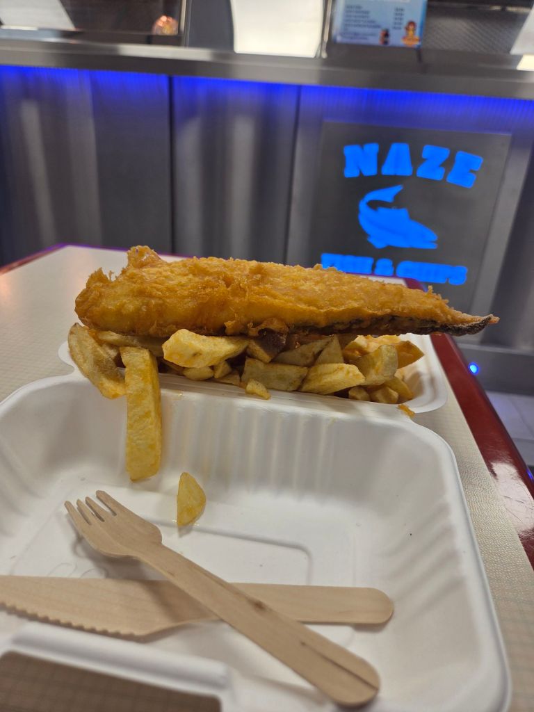
I found a fish n’chip shop, within 20 metres of the hotel, and a localish beer from a co-op – I was tired but happy.