I’m back on my bike and heading in an easterly direction. I won’t reveal a grand plan but I intend to cycle as far across Europe as I can, in my available time, and fly back. To that end I’m back on my folding bike. It feels like going back to my roots where my trusty Airnimal Chameleon took me to the most northerly lighthouse in mainland Europe and then started at John O’Groats, before the Scottish roads killed it (in retrospect I don’tthink I should have mentioned this!). I’ve decided to travel lighter to give the bike a chance this time. I’m going to use my Camino walking/sleeping kit – (tarp, bivi bag and sleeping bag) and no cooking gear to lighten my load. I won’t camp all the time and I’ll try to find accommodation every now and again (every other night). It was quite hard to get going, not the preparation as I was well prepared, but a reluctance to head out into the unknown. This is definitely worse when I’m leaving directly from home with no pressures to catch a train, flight or ferry.

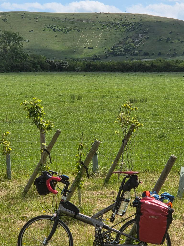
Eventually I headed off, and instantly did a tour of Burgess Hill when I told the Garmin to direct me to the beginning of the route I’d planned. I had no idea where the start was (just somewhere in Burgess Hill) and I cycled aimlessly. I soon got fed up and went the way I thought it had planned. I went via Hassocks and Clayton, and it wasn’t until I got onto the Underhill below Ditchling, that the Garmin stopped complaining. I really should have paid more attention to my local planning, but I wasn’t prepared to stop so close to home to check.

I kept the pressure up cycling, and didn’t take too many pictures, as bad packing left the camera in a bag, and the phone requires stopping. It was all on familiar roads and I stopped in Lewes for a sandwich and cake at Bakeout. I didn’t eat it until Bexhill, that’s how committed I was.
After a brief stop between a couple of beach huts at Cooden Beach and I was off again. I have walked all this section of the coast, so there weren’t many surprises as the NCN 2 (National Cycle Network from Dover to St Austell in Cornwall) shares much of the coast path walking route. The one problem with knowing the route, is I knew where the hills would be.

There was one little hill before Hastings which wasn’t a problem, unlike the horrendously bumpy plastic grid paths across the shingle.

It was nice cycling through some of the trendy backstreets of Hastings, but the route kept climbing. Eventually I had to get off and push for a couple of sections. The NCN 2 route picked a really nice quiet route out of town.

It rejoined the road at Fairlight, and for me it was a nice long wizz down hill. It wouldn’t be much fun cycling the other way. I was soon down onto the flat lands of Pett Levels, the only problem was that a strong headwind appeared, making the cycling rather tiresome.

It was getting a bit late when I reached Rye. I had a plan to try to get to a campsite at Camber Sands, but I stopped and checked Booking.com in case I was missing any bargains. I wasn’t, so I pushed on towards the campsite. I stopped to buy some supplies and got to the site by about 7:30. Calling it a campsite is a bit generous, but it did have a toilet and a tap, and may of had a shower if I could have battled the overgrown door. To be fair, it was cheap and I was the only resident.


If I’d known you were heading to Hastings, I’d have given you the details of my property of choice and asked that you check out the hill up to it :D…and, was it wise pitching an open shelter in direct line with the football goal??
LikeLike