The clocks have gone forward, hurrah! This means I have, at least, an extra hour walking and takes a bit of pressure off the transport logistics. As such I was determined to get the best fare possible today as last week I spent £43. To be fair, I was super keen to meet a friend and get out for a beer, but nonetheless it will impact on the average cost of walking the Coast. Currently, after 30 days of walking (500 km 300 miles), it stands at £32 for all transport and accommodation. Not bad! Using the normal rail planners, and even the split ticket sellers, all the fares were coming out at over £30, and it’s almost impossible to force them to choose a route “avoiding London”. Luckily I found an independent site that gives all the available fares, and shows avoiding London is £18.90 (with railcard). So I just needed to plan a convoluted route around London (I’d already done The Windrush Line from Clapham to Denmark Hill, but I wasn’t 100% sure this ticket would cover TfLs London Overground), I devised Croydon > Peckham Rye > Bromley South and on to Kent. It will, provided the connections work, save over £16 and only take 25 minutes longer than the proposed routes. I’ll let you know if it works, but if it does it opens up a lot more of Kent before I need to be thinking about multi- day trips.

Firstly, Barbara in the ticket office was most impressed with my planning, she said it’s a real bargain “if” all the connections work. They did, mostly. I was slightly caught out by there only being an hourly service during the day to Newington, my starting point, so I had to sit with a coffee and a bacon roll for 35 minutes at Bromley South. Quite a hardship. I started walking just after midday, which wasn’t too bad, and headed to what I thought was a Co-op for lunch supplies. It turned out to be a Nisa, which offers no form of “meal deal”, and a largely Chicken Tikka based range of sandwiches. I left equipped with a Chicken Tikka and Yogurt sandwich and a bag of crisps which should see me through the day. I decided to take a slightly different route down to the coast, mainly to see new stuff and I though I had seen the majority of Lower Halstow. The new things I saw were some very traditional looking Oast houses, which are pretty much only seen in Kent and used to be used for drying hops (for beer), and a hill (which I don’t think I’ve seen a good one for many days on the coast path).


The route down to the coast was through a nice mixture of fields and woodlands with my first view of this years bluebells. I soon joined the Saxon Shore Path which headed off across some fields. Route finding was tricky, as I ended up on the wrong side of a fence a few times, and the very dry rutted fields made for difficult walking.

I had been walking for quite a while before i got my first glimpse of the “coast”. In fact it is still the estuary for the River Medway, although the map doesn’t classify it as such. I think it is the longest “diversion” from the real coast in all my sections (uk counties) so far. It will take me 2.5 days to walk from Grain to Sheerness, a distance of one kilometre. The view was higher up while i was crossing huge blank, recently ploughed, with no footpaths marked. Navigation was made more difficult as boundaries that were marked on the map seem to have been removed in reality. This led to me stumbling a bit randomly trying to spot evidence of a footpath on the far away boundary, requiring frequent adjustment of my direction as what I thought looked like a signpost, or stile, turned out to be a random fence post.


At the edge of one field I came across a sign about footpath closures. Signs like this are a real pain as they never offer a suitable diversion. This one was no exception, appearing to show every path in my direction closed, with the diversion being in the opposite direction. I now have a dilemma, ignore and carry on, or try to route around. I decided to carry on regardless, and deal with any issues if I came across them.

The first person I saw was a farmer, spraying water and rollering his field behind a tractor, presumably to make it flatter for me. I made a point of giving him a wave, thinking if the path was closed he might stop and tell me. He waved back which I took as a positive sign. In fact there was no closed paths, and no evidence of any work being done on them. The next point of interest was the village of Iwade. I have been here before, and it’s only claim to fame, is Iwade Speedway track at the Old Gun site. I altered my route slightly to get a view of the track, but it is hidden behind a big embankment, which was a disappointment, as I was hoping to bring back old memories.

Luckily, I have managed to dig out some old photos of when we (Sideways Sid & I) took our speedway bike to ride there about 20 years ago. I can’t resist airing these photos, it was a good day out! I also managed to get a zoomed photo from the other side of the marshes, which showed the referees box on top of one of the old gun emplacements. Looking at these old speedway photos, has reminded me that I have the remnants of a website from the early noughties with a few old pictures on. It just proves stuff on the net will last forever!


From Iwade, the walk across Chetney Marshes was glorious. There was so much bird life around. It was slightly marred by a stream of dumper trucks heading out onto the headland. It was a bit annoying with a truck passing every 15 minutes or so, but when I found they were delivering soil to reinforce the sea defences I felt better (than my initial thoughts of them dumping landfill somewhere). Nevertheless, with the sun out, the marshes were a really nice place to be.


The coast path takes a big loop around the marsh and turned back towards the bridges crossing onto the Isle of Sheppey , or The Sheppey Crossing as the big road bridge is called. The smaller bridge, the Kingsferry Bridge, has both a road and rail crossing. I was a bit puzzled why one the bridge was so high, and attributed it to keeping if high out of the marshy shoreline, or something other bizarre illogical reason.


The bridge is over the Swale, which is a narrow body of water that separates the Isle of Sheppey from the mainland. It is relatively narrow at this end of the island and much wider at the eastern end. To provide evidence of my determination to get better at bird watching, there was lots of birdlife, with Oystercatchers, Grebes and Blackheaded Gulls in abundance.

Approaching the bridge, it became obvious why the new road bridge was so high, as the lower Kingsferry Bridge is an opening bridge with the road deck, and railway lifting vertically. Its a really obvious explanation of the high bridge, except it does seem like a hell of lot of engineering when a tall boat could just go the other way around the island!

The marked Coast Path is a real mess around the end of the bridge, which is not helped at all by a water pipe being installed under the bridge. The first path I took, completely missed the bridge and headed off to the east, so I had to turn back as missing the Isle of Sheppey would be cheating. Eventually, I found that I had to walk away towards the main road and roundabout to turn back to the bridge.


After crossing onto Sheppey the route just followed the flood embankment opposite the bank that I’d just walked down. It seemed that there must be some problem with off road vehicles using the top of the berm as there were horrendous ruts and bollards and blocks trying to block the route. It made for tricky walking – which seems to be a feature of todays walk, with the earlier ploughed fields. It was slow walking and hard to keep to my target of five kilometres per hour.


Again, it was very pleasant scenery walking across the marshes, but occasionally I’d come across some really makeshift looking harbours or docks. Some of them seemed to me to be really suitable as James Bond film sets, with rusty pipework and shabby barges, perhaps in my mind they were ready to be spectacularly blown up.

The only main town on my route today was Queenborough. A strange place, with both an air of prosperity and an air of decay at the same time. Maybe that can describe many places, but perhaps the extremes seem closer together here. Maybe the, potentially abandoned, Rolls Royce with flat tyres parked on a yellow line sums it up.


The final run into Sheerness on Sea skirted around the back of the docks. Sheerness clearly receives a huge number of new car imports with thousands (and thousands!) of new cars, and still room for many more. The path was trapped between the sea wall and security fencing for a long way, with high security bridges over the links between the various car parks. My main thought walking along this section was…. Who keeps all the car keys?

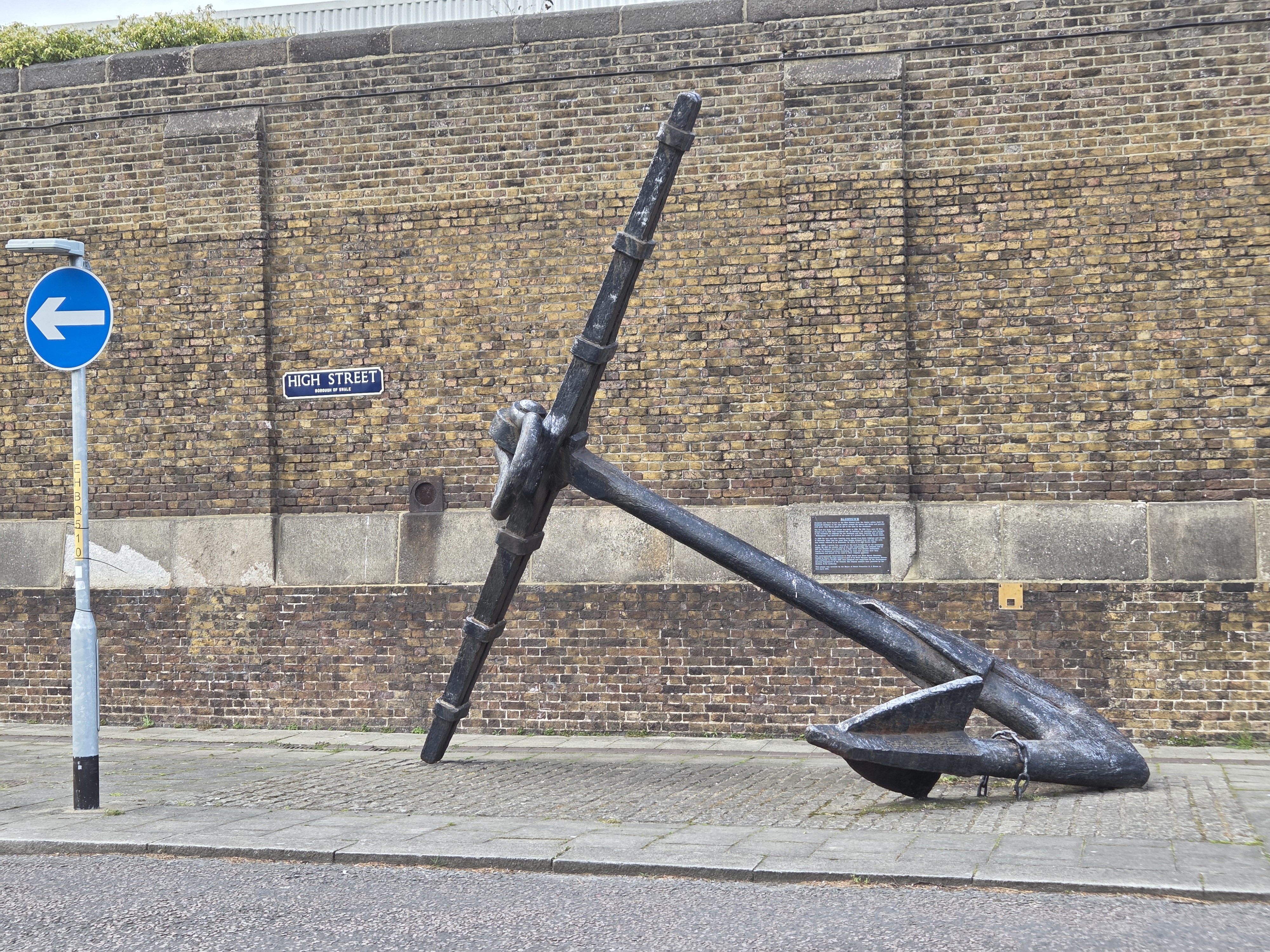
Sheerness its self, is clearly a really Naval town. To the walker of the Coast Path, this is clearly indicated by very high, old brick walls, that prevent a view of anything on the seaward side.
Sheerness Railway Station is on the west side of town so I didn’t really expect to see much as I finished today’s leg. How wrong I was! As I walked in, I thought I caught a glimpse of someone walking a lamb on a lead. How wrong I was, it was three ladies with four lambs (no leads) and a dog, just taking them for a walk in the streets! Very strange! Around the next corner, was a small park with a young girl practicing throwing javelins! She seemed to have a long throw for someone so small, and I’ll look out for a Sheerness javelin thrower in the next Olympics.

I didn’t bother to try to find the actual sea front at Sheerness (on Sea). My mapping indicated it was just behind a big Tescos and the McDonalds. It didn’t sound too promising so I put my effort into catching the train home. I’ll have more time to explore at the start of the next leg.

Sheerness Station is clearly the end of the line, but is well served with a half hourly service into Sittingborne and then onto the Mainline to London. I’m still quite surprised how these seemingly quite remote paces are so well connected. My journey home was long, but uneventful and only made longer when I thought I knew better to change my route through Denmark Hill, at the last minute, which cost me a 25 minute wait and being 15 minutes later home than necessary. I’ve got a lot more travelling to do on this line, so I need to become slicker!


