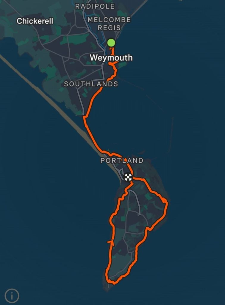
My (ambitious) estimate of completing the Dorset stretch of the coast path in six days before the clocks change, will need to be revised. After the last 45km leg and a poor weather forecast, I have changed my plans slightly. I did have the final three days planned as one trip of quite long days, but I think I will aim for two, two day, trips. This means that for the first two day trip, I can plan for slightly shorter days to allow for travelling, and I’ll worry about the last two days after the clocks change. I can then plan to allow for travel and the darker evenings. One of the things that puts me off travelling is the rail cost, but I’ve discovered I can travel to Weymouth for £20.20 each way by using the train split app (single to Shoreham, return Weymouth, single back from Shoreham) and my rail card, saving about £6 over just the railcard. This ticket splitting may prove more useful as I get further away. This does involve travelling off-peak, but I’m starting walking straight from Weymouth station, and getting going at 1pm still gives five hours of daylight. Today would be one of those days where I make very little progress in a westerly direction. The whole day will be walking around the Isle of Portland, ending up almost exactly where I started.
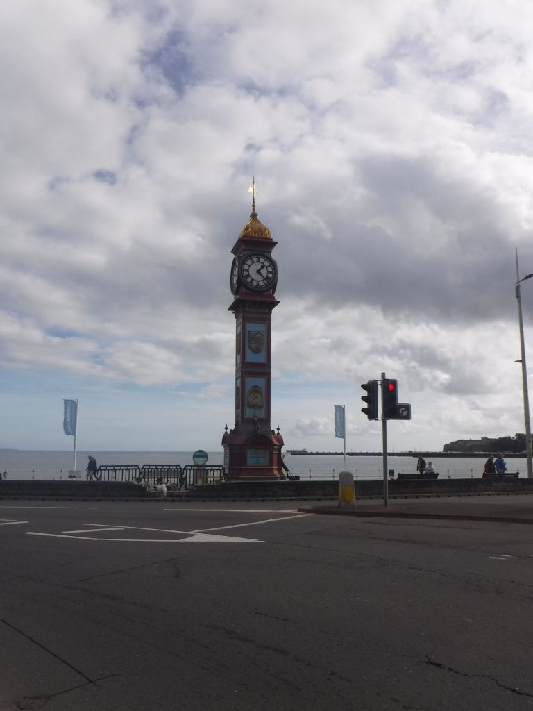
I leapt off the train at 1:17 and headed into Weymouth. My day’s plan was to head to the tip of Port Bill along the Eastern side, and then head back up the Western side to my booked accommodation in Fortuneswell. It’s about 25 km, and I would be racing against daylight (about 6 pm) and predicted rain, forecast to happen about 4 pm. There was no time for hanging around. I got back to the seafront, Weymouth has a really nice sandy beach and was quite busy with holiday makers. It is half term and was nice and sunny, which probably explains it.

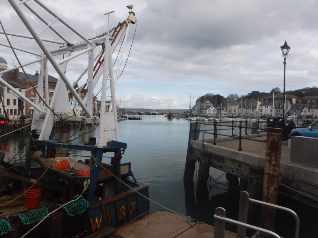
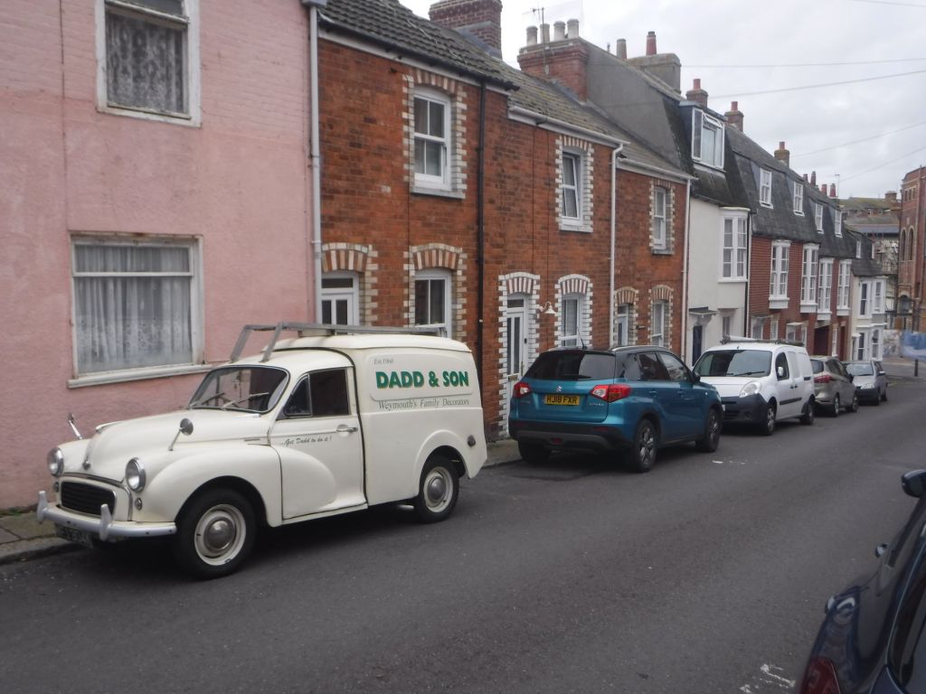
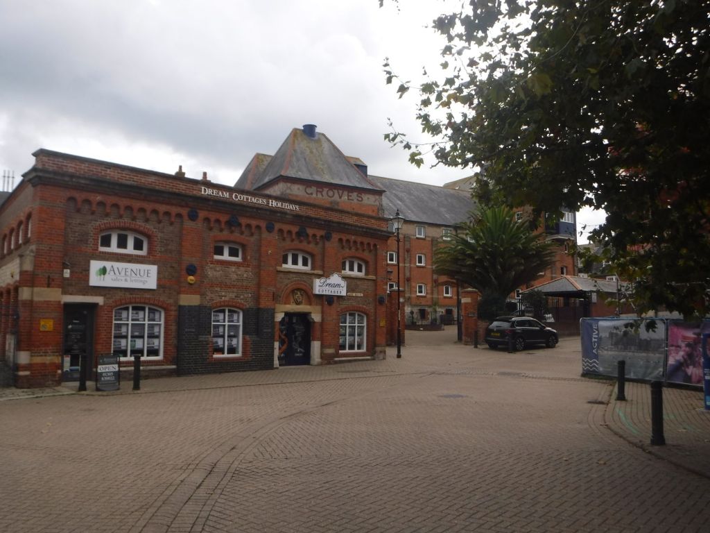
I had identified a Londis (the last shop on my route) to buy lunch a bit further on the walk, but I spotted a M&S food hall which I couldn’t resist. Although I was rather surprised to see that M&S don’t offer a meal deal, I created my own (with no discount!). I was still aware of my time issues, so I cut a couple of corners, essentially not walking around carparks on small headlands. It did allow walking through some older parts of the town, with some nice old buildings clearly linked to the maritime and fishing history but with industrial heritage as well. Weymouth looks like a nice place for a long weekend trip.
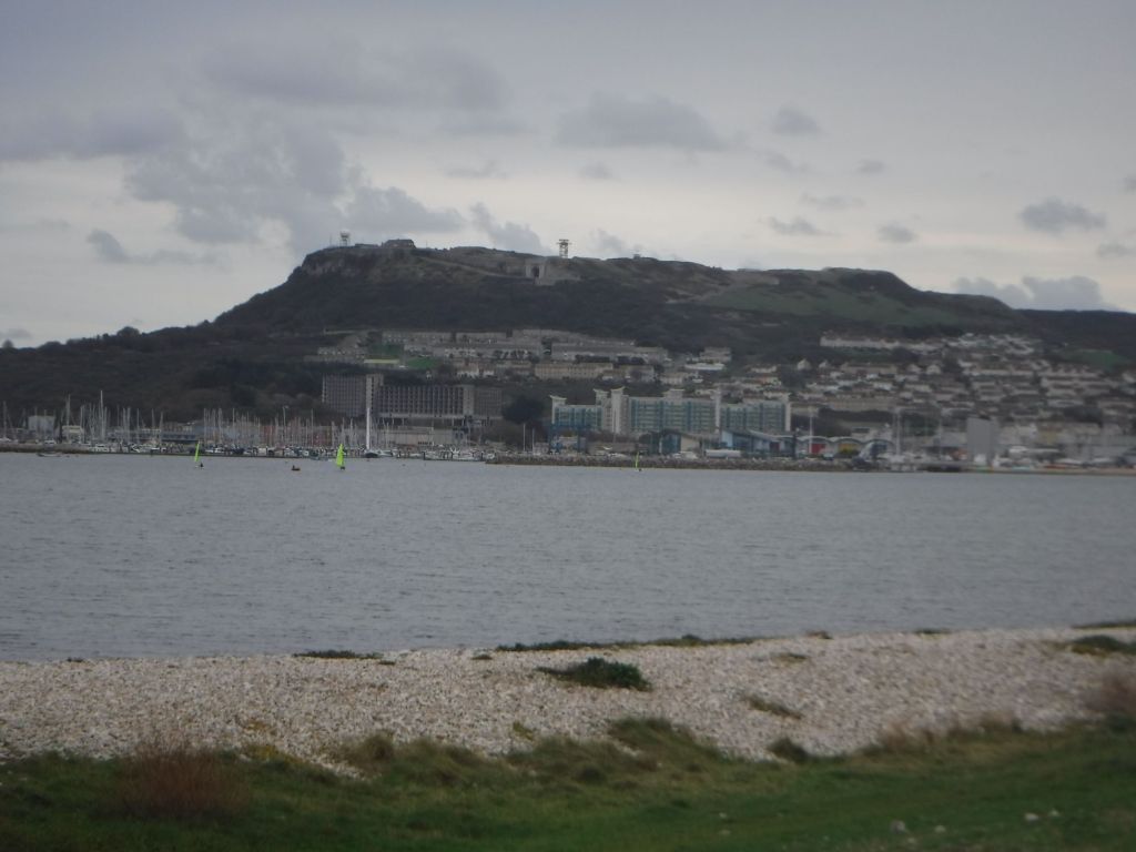
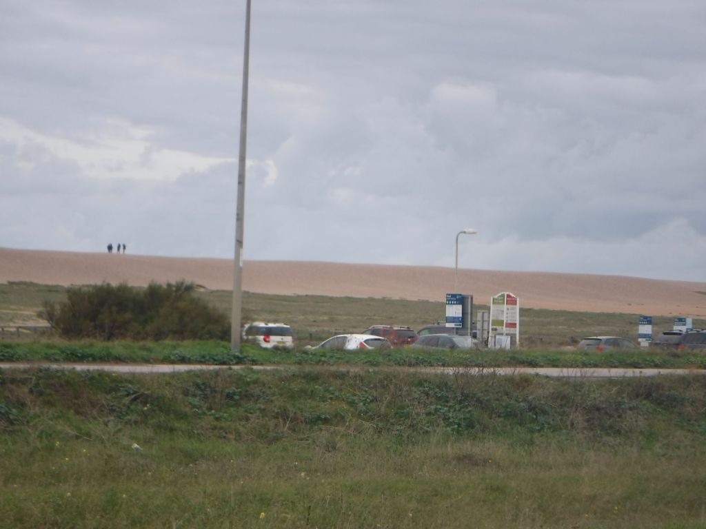
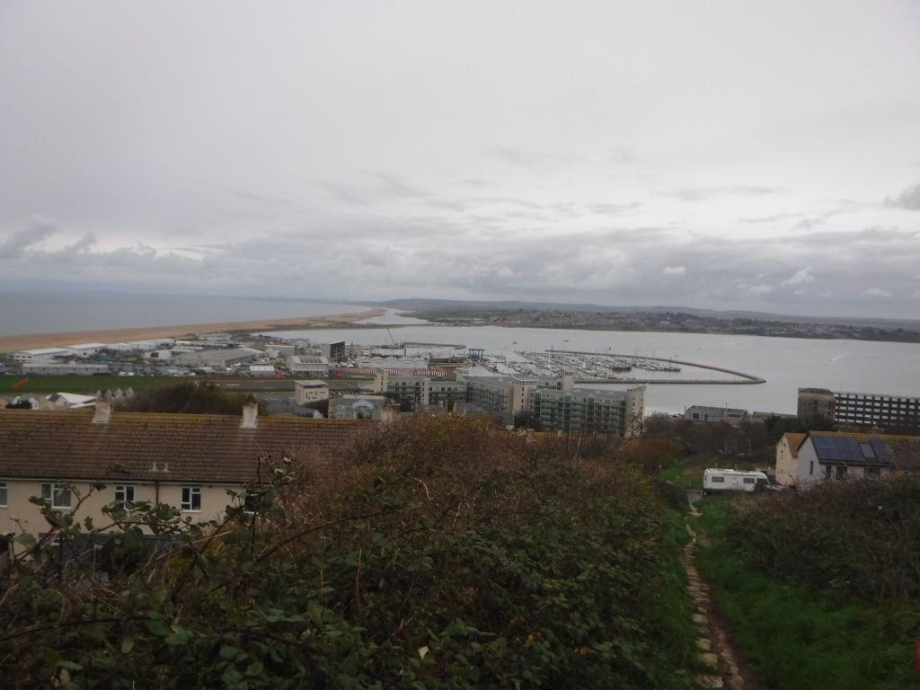
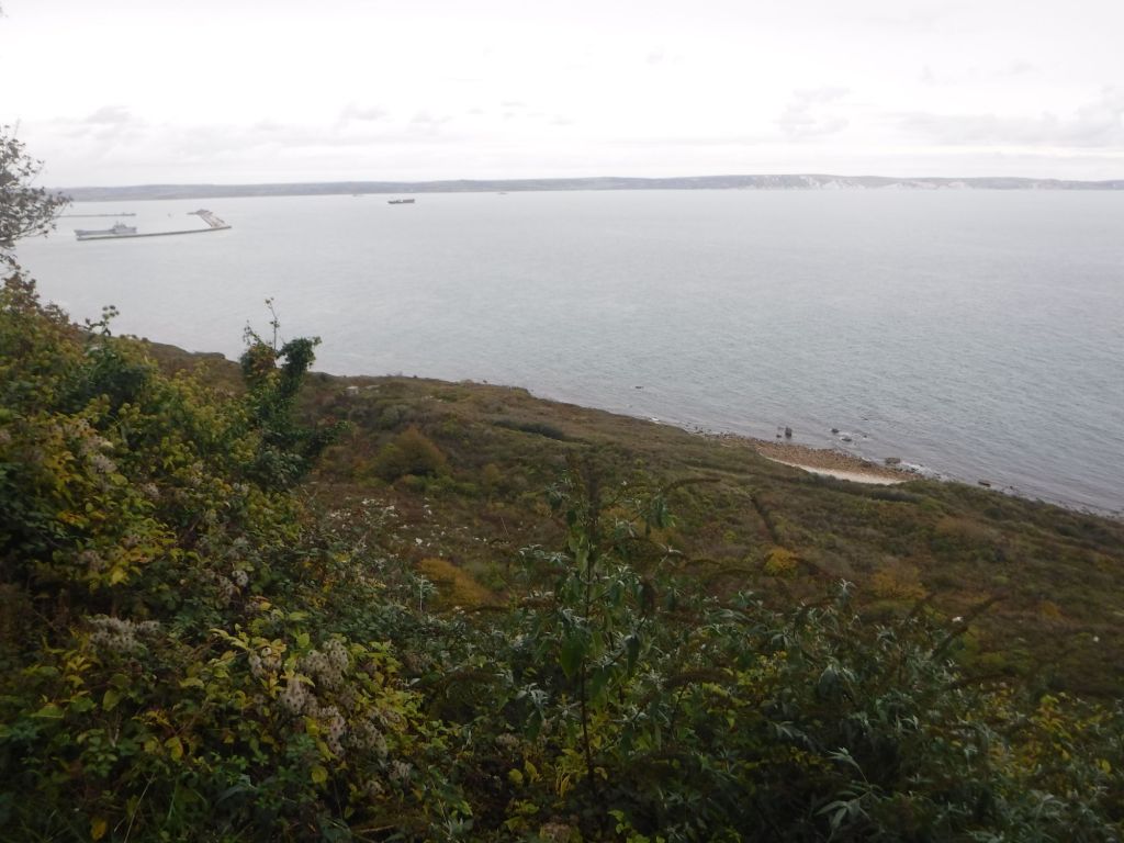
The coast path took me through over a bit of a hill, through some very fancy houses, before dropping down towards the causeway to the Isle of Portland. The causeway didn’t seem as long as I thought it might be. This is probably because the views were so good. To the east was the harbour and the white cliffs that I walked over on previous days. Ahead, to the south was the island, with town crammed below the hills and crags. It had the look of Monaco with blocks of flats below the grey stone cliffs. I think Portland is the complete opposite of Monaco, being a quite deprived area. To the west is a huge shingle bank that prevented the view of Chesil Beach and the water behind (The Fleet). Silhouettes standing on the top gave it a sense of scale. I’m walking back this way tomorrow, and I’ll talk more about Chesil Beach. The road was very busy considering it doesn’t really go anywhere (apart from two prisons and a lighthouse).
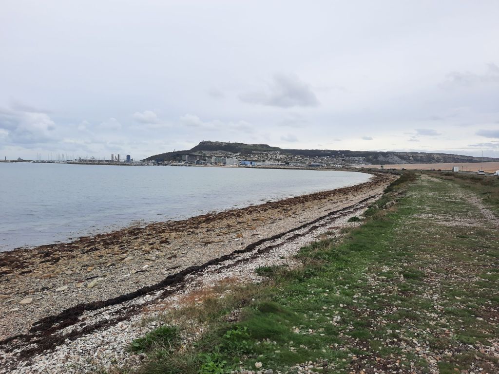
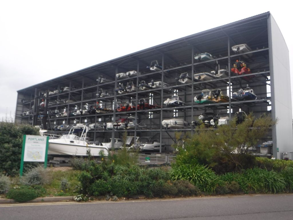
The route became a bit convoluted and weaved into a large boatyard, and the home of the GB sailing team, and around the end of the helicopter landing strip for the Royal navy base.
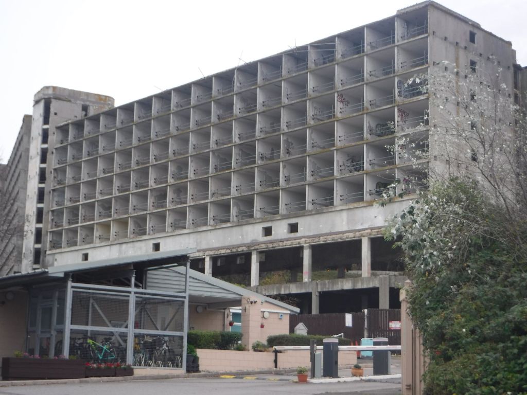
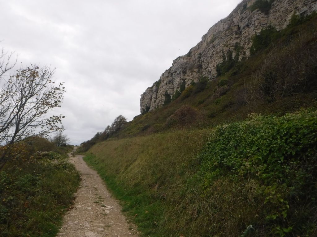
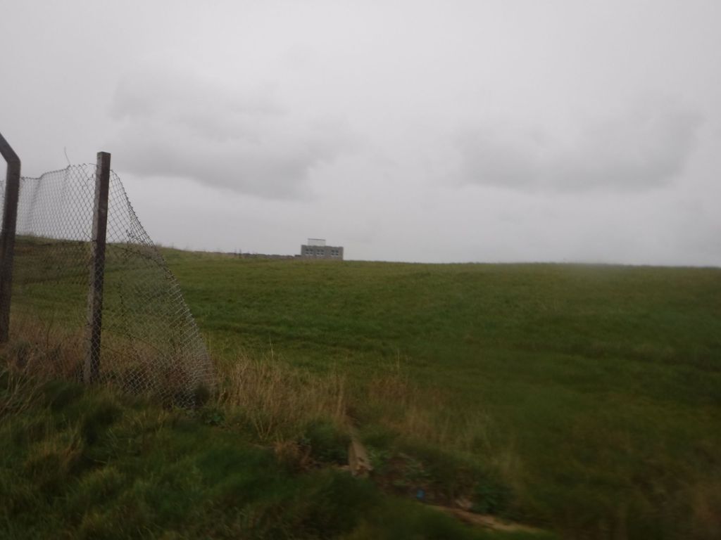
One of the blocks of flats that I could see across the harbour were completely derelict. I think they may have been royal navy barracks, but certainly a very large building to have fallen completely into disrepair. The path now left the road and headed straight (literally) up the hill, from sea level up to over 100 metres above sea level. The views were great.
At the top of the hill there was supposed to be a prison, but I couldn’t see it. I reached some really old battlements and a big moat and assumed these were abandoned battlements. I could see some traditional victorian prison buildings so assumed I was mistaken. It turns out the prison is hidden at the top of the hill behind the moat. The other prison buildings are a Young Offenders Institute in the old prison.
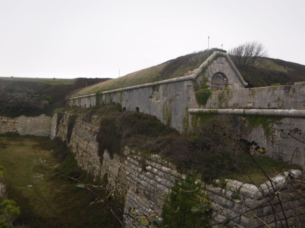
The walking was easy on the top of the hill was easy and led directly to the other prison. The coast path skirted the prison, along the cliff top. A tremendous position, but I don’t expect the views to be so nice from “inside”.
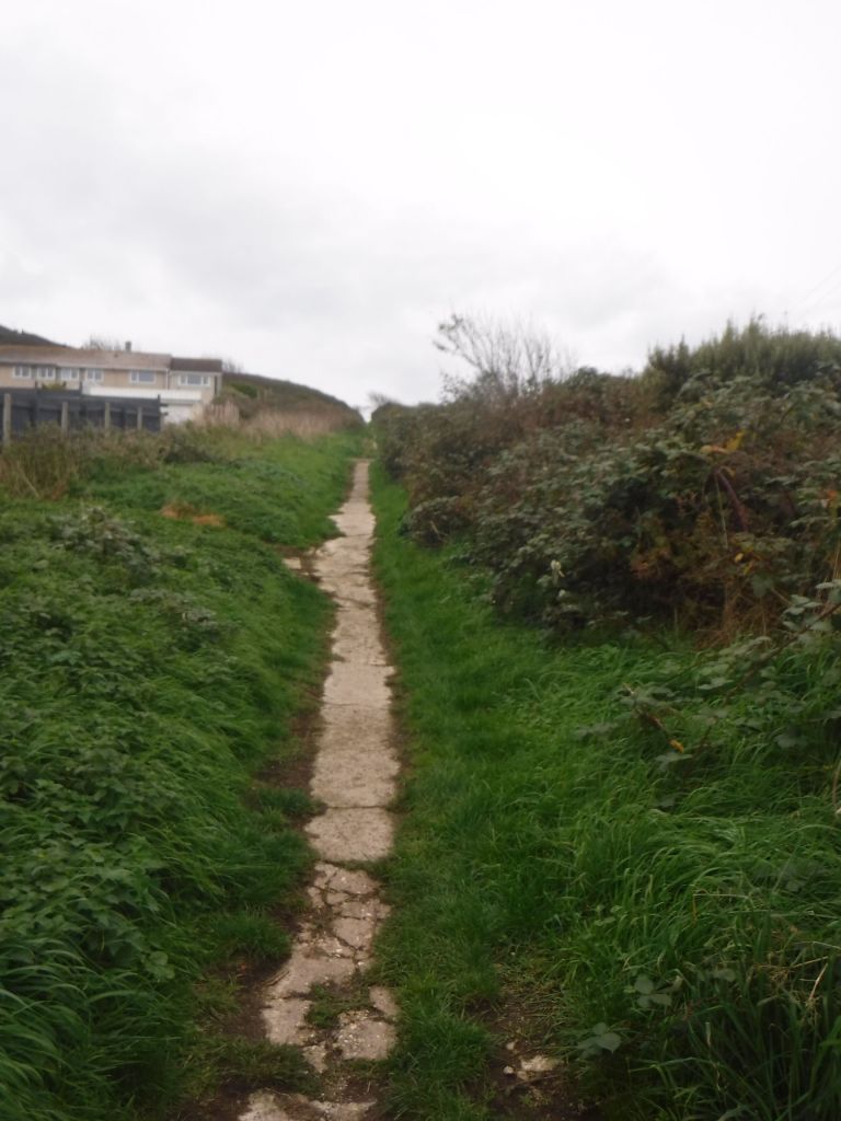
I then dropped sharply down narrow footpath and through a series of hairpin bends. At one point I had to wade through piles of full size apples blocking the path. I think an apple tree may have escaped from the prison above (I really should have taken a picture). The narrow path dropped on to a main path that took me miles, just above the sea with the portland stone cliffs above.
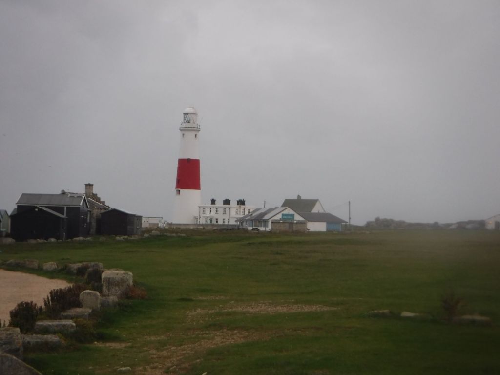
At Church Ope Cove, I had a sneaking suspicion that the path may prove arduous but headed down to sea level rather than staying at a high level. Sure enough the coast path is blocked in places and I ended up on the road not far from where I left it. I should have trusted my instincts (or laziness). There was a short road section before dropping down onto a great path through lots of very old quarries as it led directly to Portland Bill.

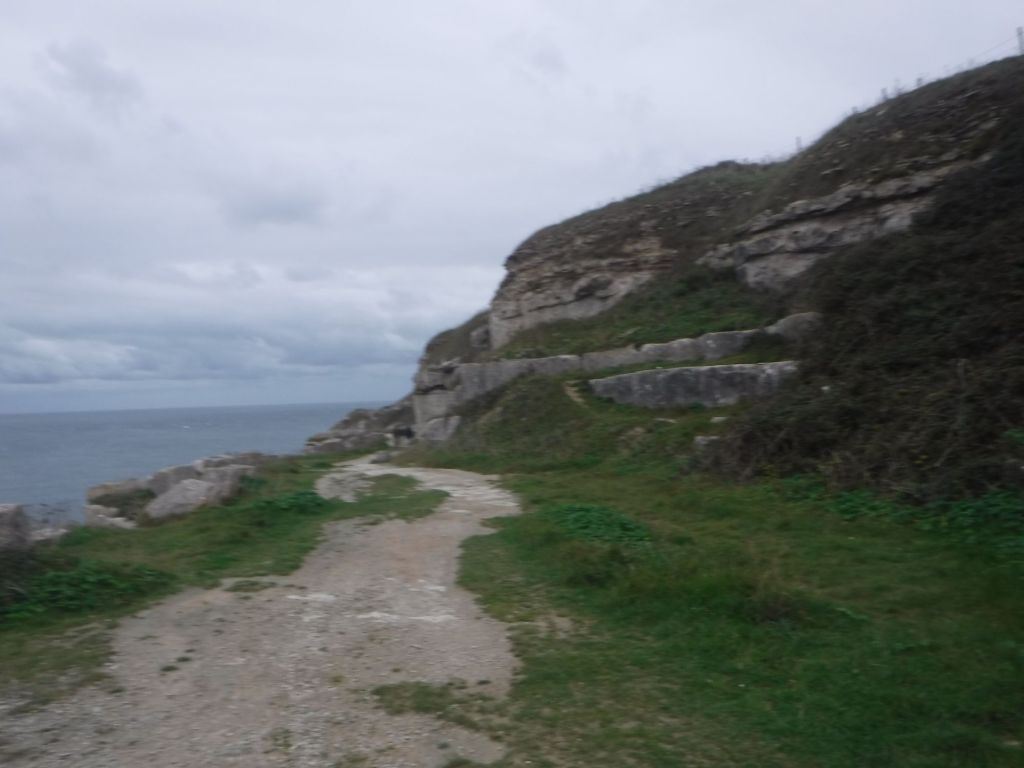
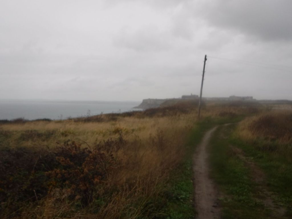
The weather was changing, and almost on the strike of 4:30pm, the rain started. I had made good time and just reached the end of Portland Bill. I put my rucksack cover on, donned my coat, and headed north up the western side of the island. It was a bit of a climb up to top of cliff level, but once there, it was a pretty flat walk. I expect the views on a completely new (to me) coastline would have been great. Unfortunately, there was just a grey mist. The rain got so heavy I had to put my waterproof trousers on, a rare occurrence as I get wetter on the inside when I wear them.
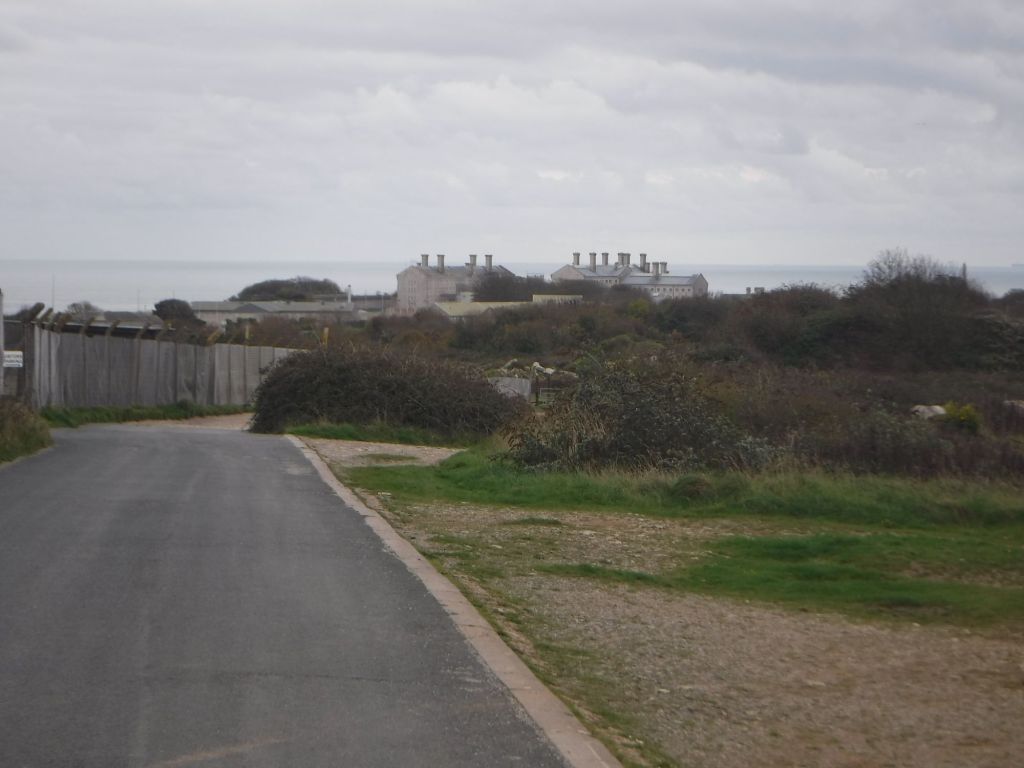
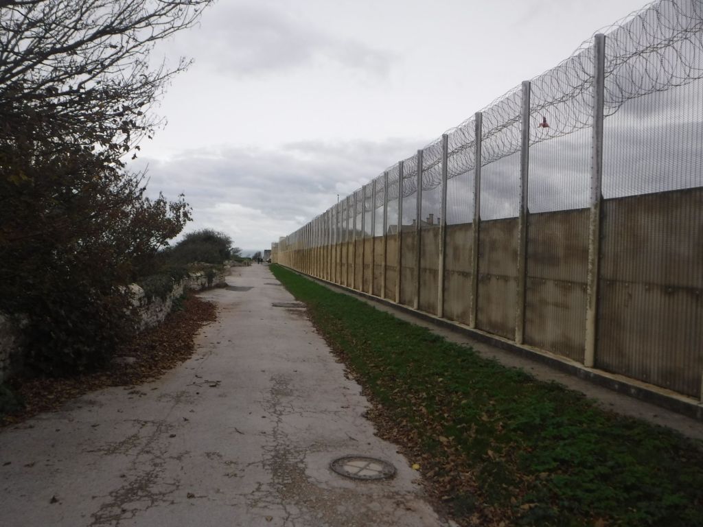
I passed a few groups of buildings, the first looked like may be another prison or military establishment. I could see lots of kids on the horizon and the sound of a game of football. I wondered whether it might be another young offender institute. I was a bit alarmed when I saw the state of the fence, but I’m pretty sure it was just a group of industrial buildings and sports facilities.
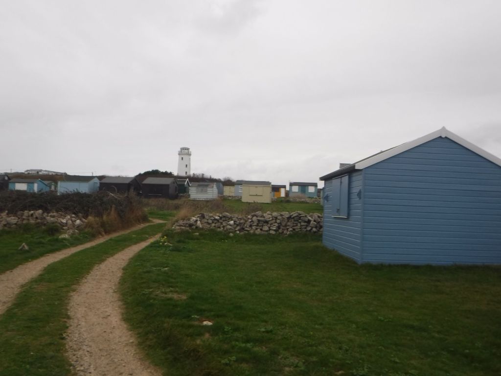
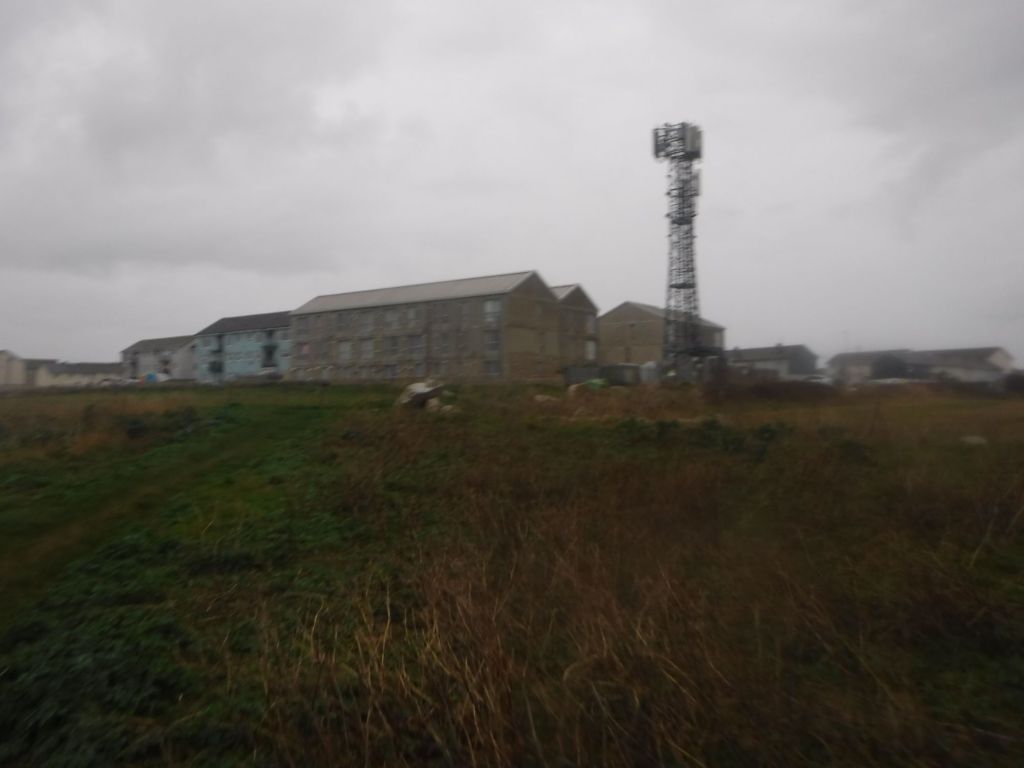
The next group of buildings were housing blocks on the cliff top. The new, unfinished blocks definitely looked like prison buildings to me through the grey rain.
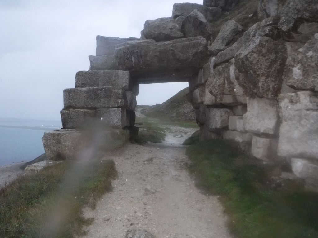
The path was easy to follow as the light diminished and the cliff top route would have been spectacular with good visibility. The path then went through some old quarries. I came to a big stone arch, which was my first opportunity to check the map on my phone. I’d forgotten to bring the waterproof cover for it (but had brought spare headtorch batteries, so I can learn!). I also called the accommodation to give them my eta.
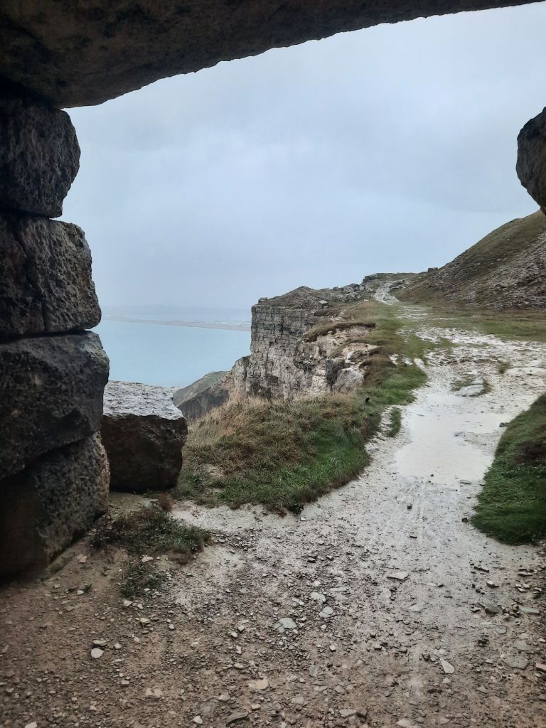
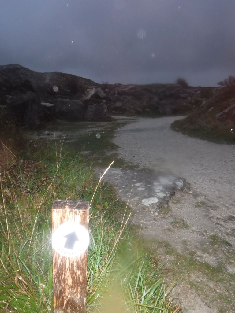
The final section was diverted away from the coast path, presumably due to cliff fall, through really impressive quarries. There were lots of partial sculptures, some looked quite old, while others were very recent. It would have been good to spend some time wandering through here (on a nice sunny day). I inadvertently missed the coast path sign and ended up on the road. This turned out to be quite fortunate as it was getting pretty dark, and the pavement led me into Fortuneswell and my accommodation. I had to hide in a doorway and remove all my wet gear and muddy boots before knocking on the door.
It had been a challenging walk, but really worthwhile. I had been dithering at home on whether I should try and knock a few more sections off before the clocks, and weather, change. I definitely made the right decision.


I’ve been to Weymouth quite a lot over the years so your photos have good memories for me. I think the clock tower was built for Queen Victoria’s jubilee. The town has become a bit dilapidated sadly but the harbour, esplanade and beach are still the best. I love all those names – Radipole, Chickerell, Lodmoor. I think you might have gone near the Nothe fort. Sorry the weather was a bit rubbish but amazing cloud formation in the clock photo. Sounds like you had a good day.
(My day’s plan not My days plan)
(You were right about my login puzzle)
LikeLike