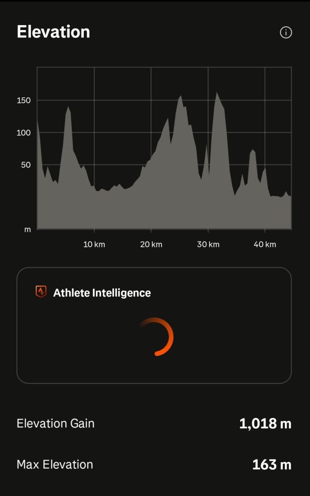
What’s missing from above is… “and 1,018 metres of climbing!!!!!”
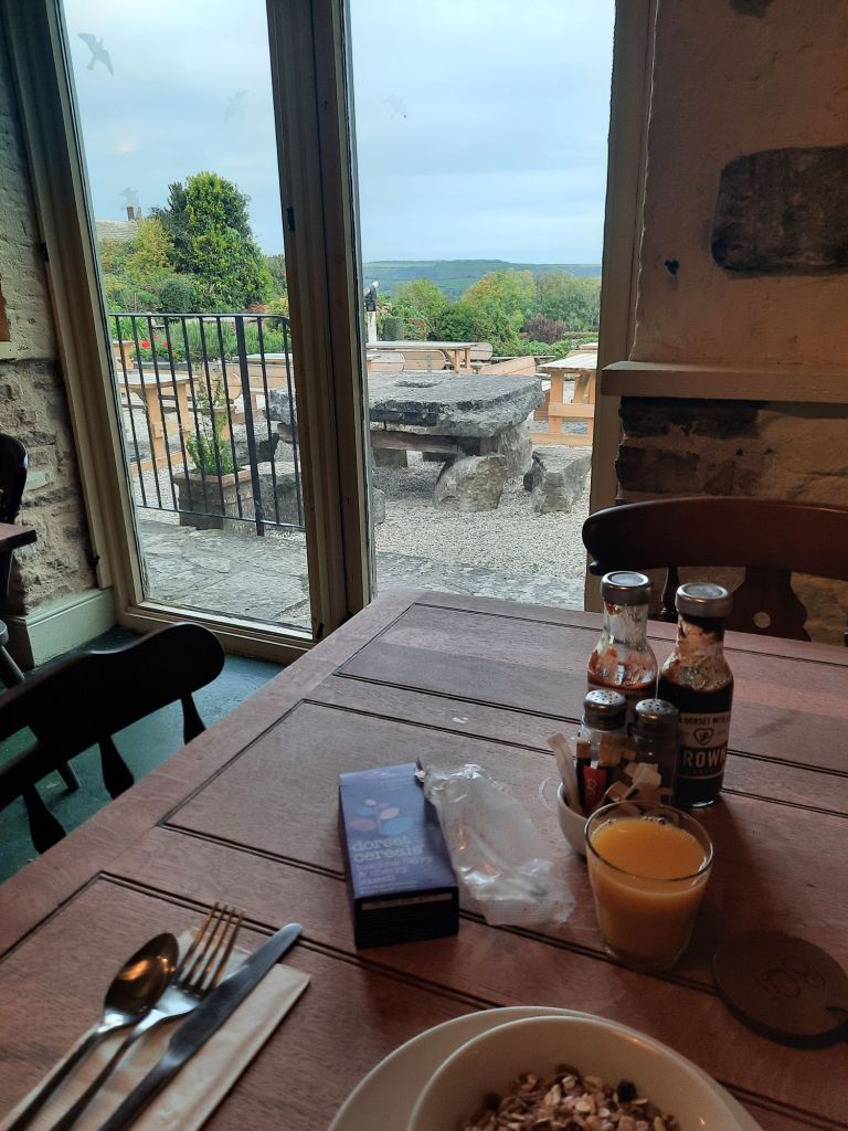
Firstly, I want to make an excuse for yesterday’s blog. Mainly as new subscriber (and friend), Joyce, who is kindly feeding back on my use of the English language, and I will make revisions on this feedback. However, I have had a feeling as I walked today that I had pressed “publish” too soon. This morning, I was struggling to finalise the blog, at the same time as trying to chew a particularly tough bit of bacon, and neither was happening. I hit publish purely so I could focus on my breakfast, as I knew I needed to eat everything before my walk today. I’ll go back and see if it made any sense at all. Also, once pressed, I could also start to enjoy the amazing view from the breakfast room.
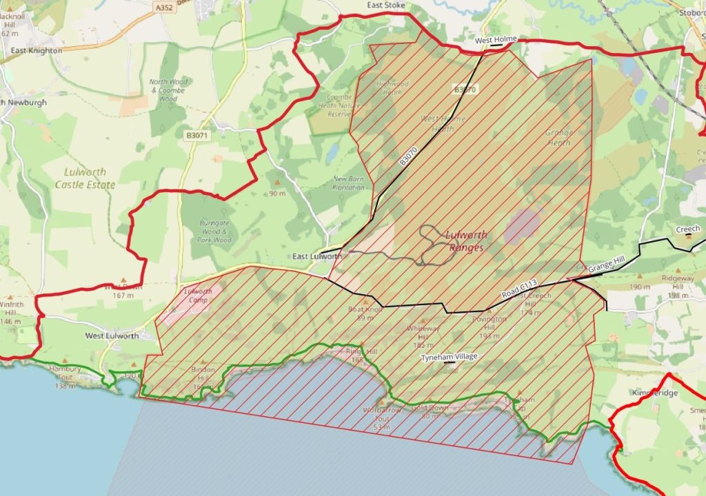
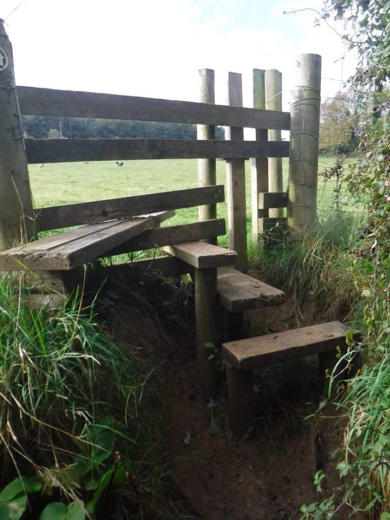
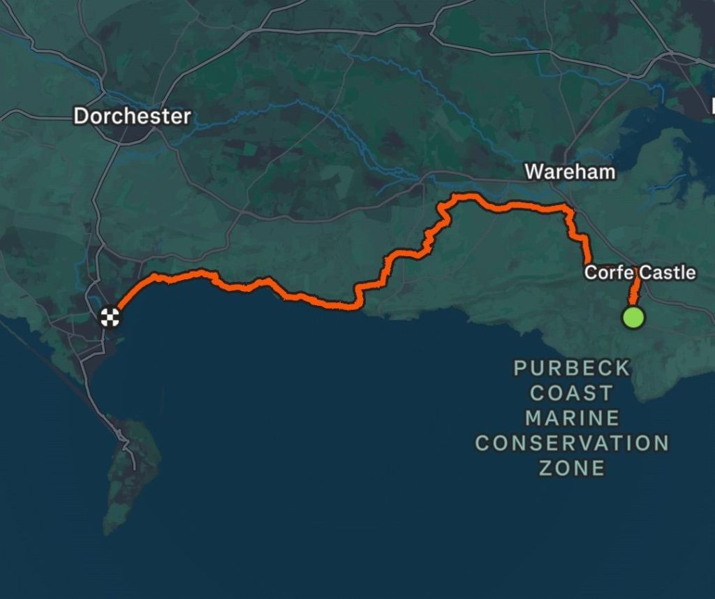
There is another story to be told before I start on the walk. I’d meticulously planned this two day section (clearly not enough after yesterday’s delay scuppered my main plan) and as soon as I booked the accommodation (nonrefundable), I decided to check the opening times for the MOD Lulworth Firing Ranges. I’d rather assumed they would be closed occasionally, and I’d be unlucky to pick a closed date. How wrong I was! They are closed pretty much every week day and some weekends, with a detailed plan published for each day. This was a big blow as on Thursday 16th October pretty much everything was closed, except the B3011 which didn’t help much. I struggled to match the MOD names up with the Ordnance Survey maps, but I think the map below might help someone in the future.

I think my initial plan was quite a long day, but having to divert around the ranges pushed it towards the longest days I have ever walked, so was going to be a challenge. I pieced together a nice route on The Hardy Way, and the Jurassic Path. There was a long road section of about 5km but it was unavoidable. So I was all ready for a crack of dawn start, which was scuppered straight away by the very civilised breakfast times of 8:45 to 9:30. Hence, the unfocused chewing on my bacon was causing me some stress.
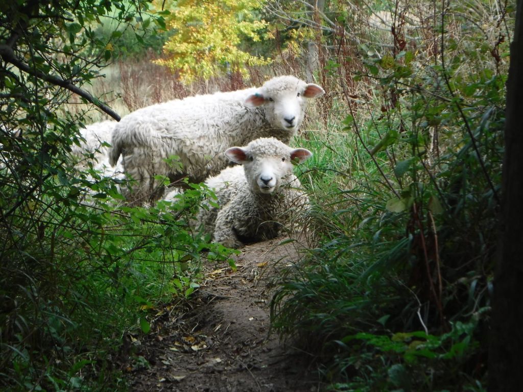
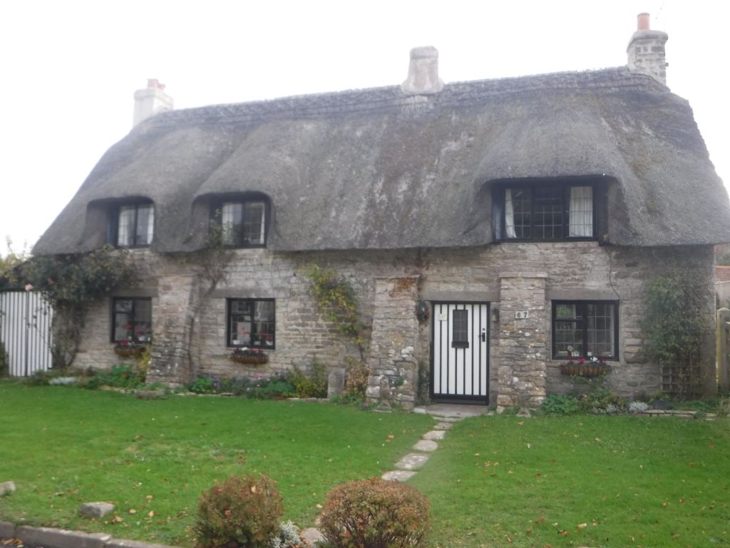
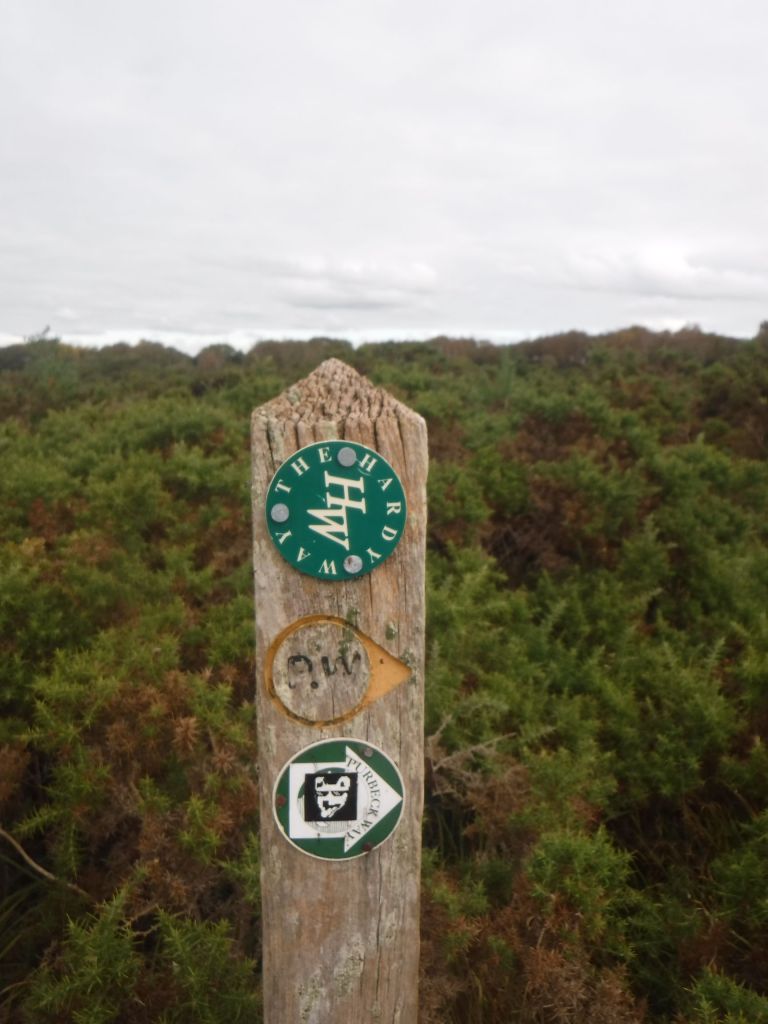
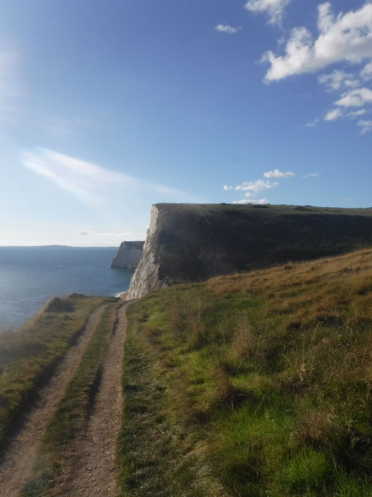
I got away before 10, and got straight onto the Hardy Way. This is a superb path and headed straight to Corfe Castle, dropping down across sheep laden fields (including a gang of particularly cheeky ones), through woods, and across commons, with horses an cows grazing. It was lovely. The path then entered Corfe along a back street of glorious stone cottages, with the Castle ruins always in view.

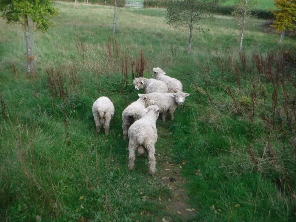

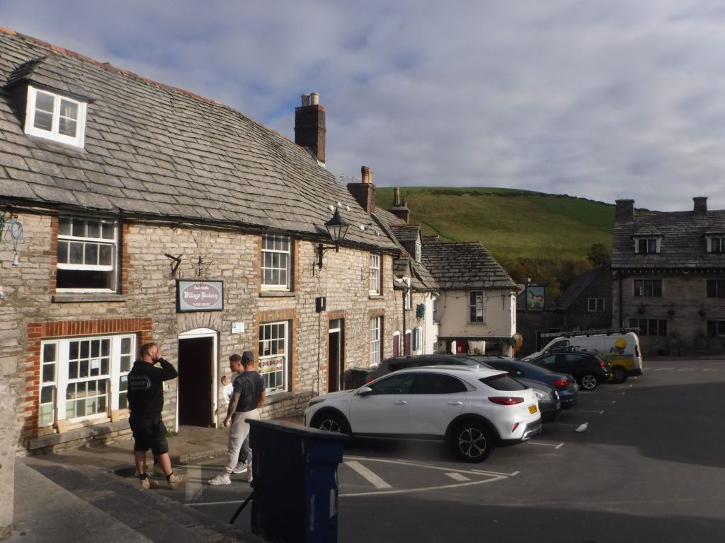
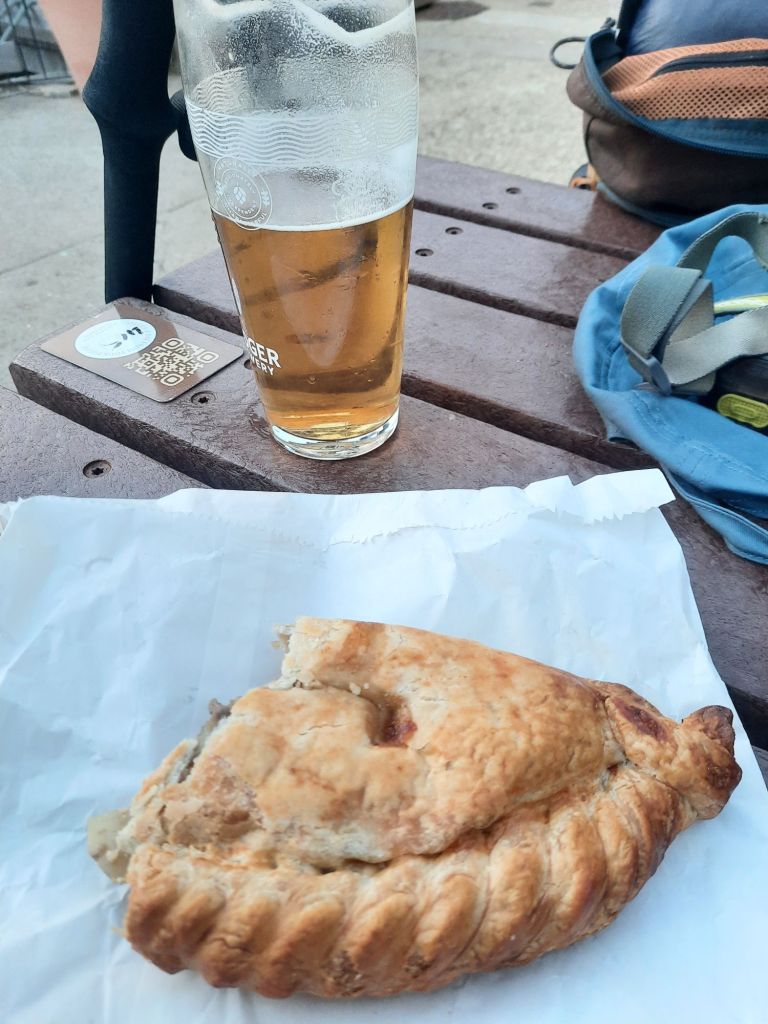
My first (and only) stop was at the bakers, which I knew was excellent. I picked up a large Pasty (which would prove to be the saviour of the day), a custard tart and a granola slice. All good walking food. The path then took me around the side of the castle, which is being grazed by hardy looking black sheep. There were lots of tourists on these paths, but I soon found quiet on the first big climb up onto the ridge. I chatted to a cyclist at the bottom (on an e-bike!), and I kept him in my sights for a long way. He had to take a rest near the top, but as I closed in on him, he frantically jumped on his bike to make sure I didn’t overtake. Very funny.
The views from the ridge were superb, if the whole Hardy Way is like this, it is definitely a walk to be done. You could see the whole of Poole Harbour, it certainly looks like the second biggest in the world (but I still need to check).
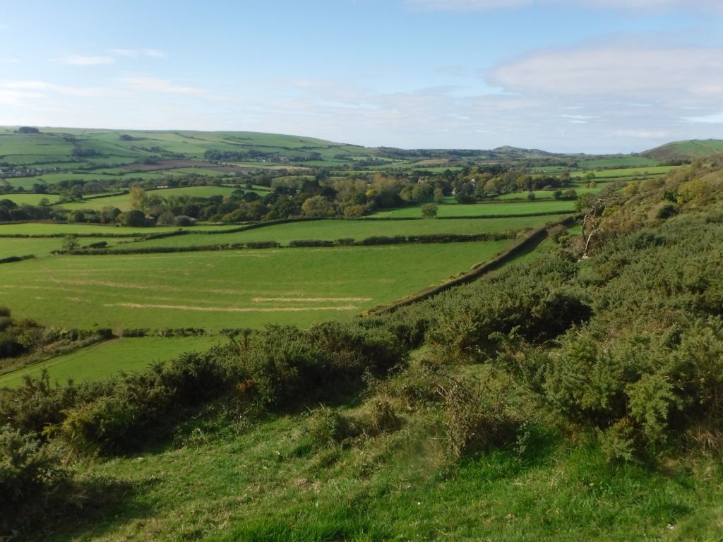
The (or rather) my route then dropped off the back of the ridge, which was a bit ominous as clearly I’d need to climb back over it. The path dropped steeply down to a short road section, it was very quiet with just a few cyclists, and then footpaths running parallel. It was very nice, and it turned out I was back on the Hardy Way. I think I’d stopped being surprised about it by then.
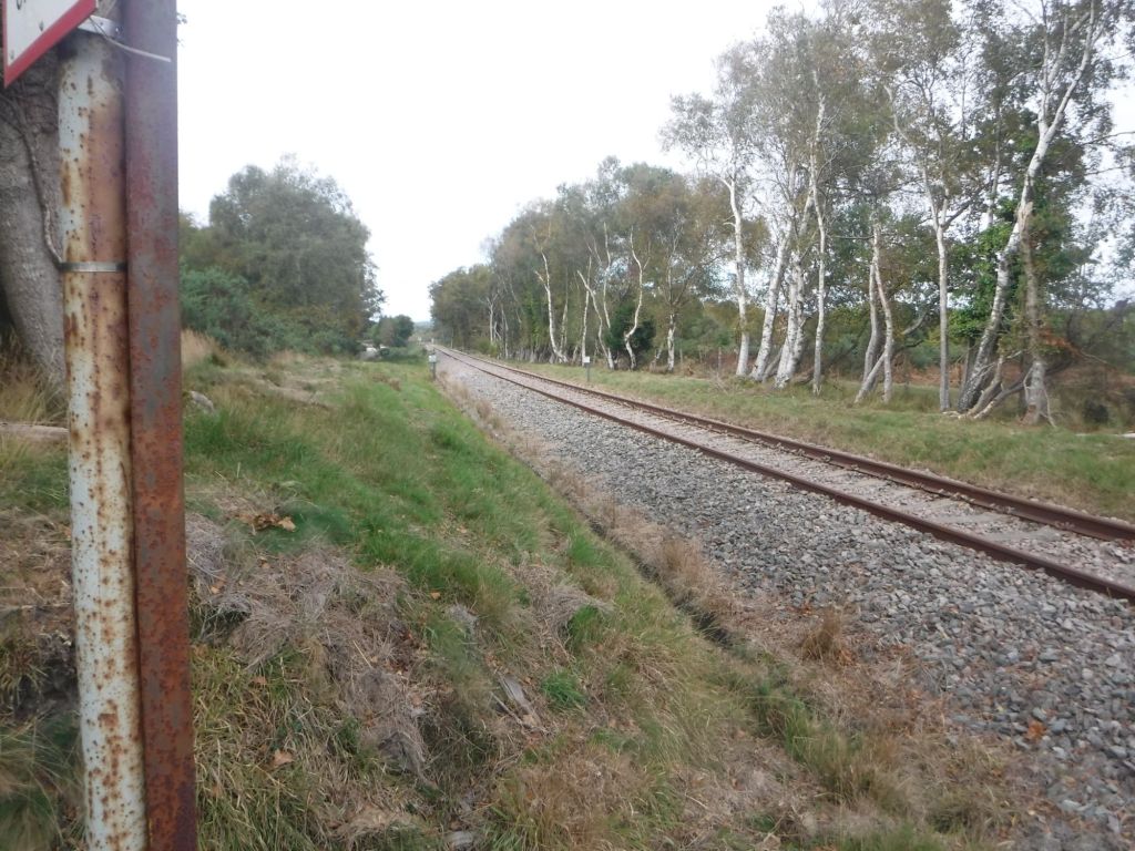
I then took a path across Creech Common, which was yet another change of landscape. Really remarkable in such a short walk. I crossed the Swanage Railway line. It’s a steam railway, but I didn’t think it came this far. The rails looked a bit rusty, so perhaps it is some future aspiration to link up to the mainline.
I had to leave the Hardy Way, as it continued to loop up towards the north, but I would meet it again after my road section. I approached the road section as a purely athletic activity. It was about 6.5km along the road and I tasked myself with completing it in an hour. I did it in 1’3″ and felt pretty pleased. I knew time was an issue, and on a brand new tarmac road, with my poles, I set about a brisk cross training exercise. I could get myself upto about 9 mins/km but struggled to hold it up the hills and getting back up to speed if I’d had to slow when two cars passed at the same time was an issue. My poling improved significantly, although it was very easy on the smooth tarmac. Overall, It was a great exercise for a rather boring road, but I did fear that I’d taken too much out of my legs.
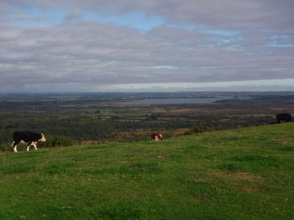
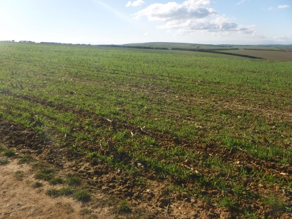
I’d now passed the Danger Area, and could head south again towards the coast. It must be said, apart from a few red flags, and a couple of signs, there was no evidence of any military activity or gunfire all day. In fact, when I heard a helicopter going past, which was clearly a civilian helicopter, I was rather disappointed when it wasn’t shot out of the sky (my first thought had been that it was some sort or target drone). This side of the ranges was very big fields. I was surprised to see seedlings sprouting up in between the remnants of last year’s crop. How can they plant new seeds without completely destroying what’s already there – very clever.
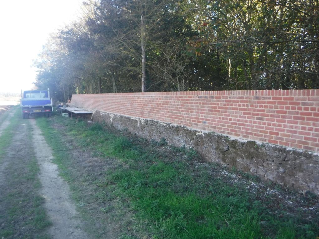
I think I was on the Lulworth Castle Estate, with some very fine follies and gates. There was also a guy, building a brick wall on top of a drystone wall. He was repairing the drystone and then adding a four foot tall brick wall. He’d done about 500 metres, I said it looked like a job for life. He laughed and said it should take a number of years. Unfortunately I missed how many years he said, but I’m sure it was a lot!

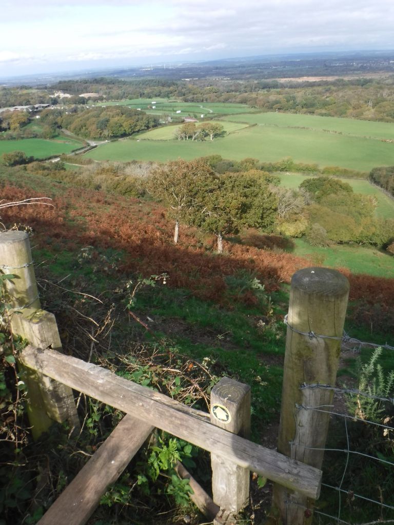
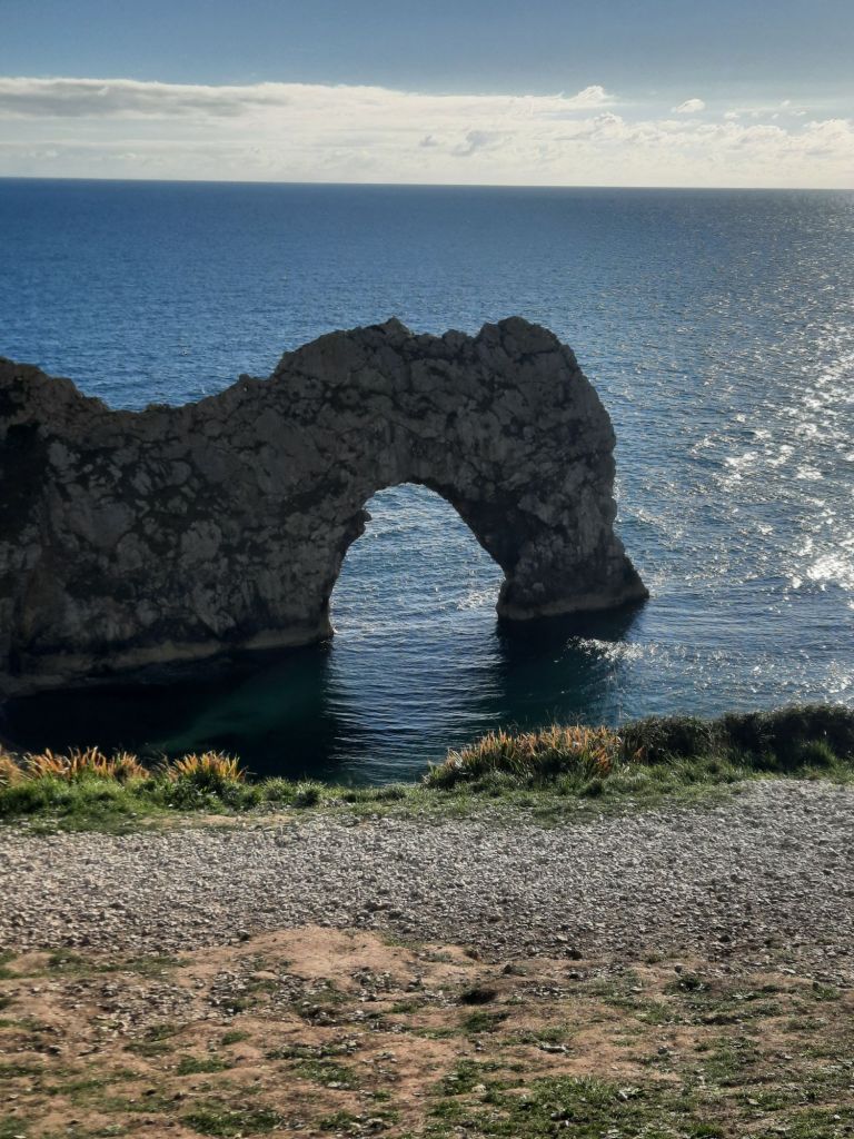
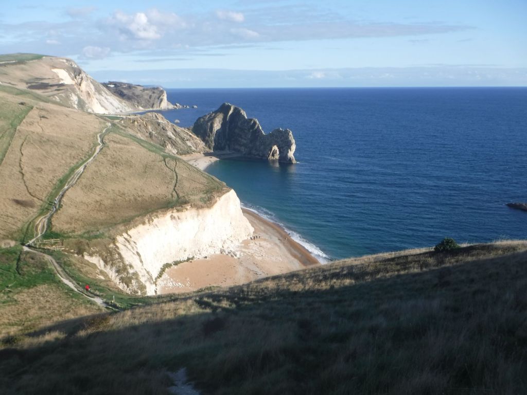
From here, I followed the ridge and then headed down to Durdle Door. There is a nice footpath that has been installed, down a scaffolding staircase, which bypasses the worst of the “Holiday Village” and runs in a nice forest walk. The path popped out by the carpark and a toilet block with tap. I only found the tap due to the accuracy of OpenStreetMap, which showed the location exactly, making finding an unmarked brown tap on the side of a brown building, a straightforward job.
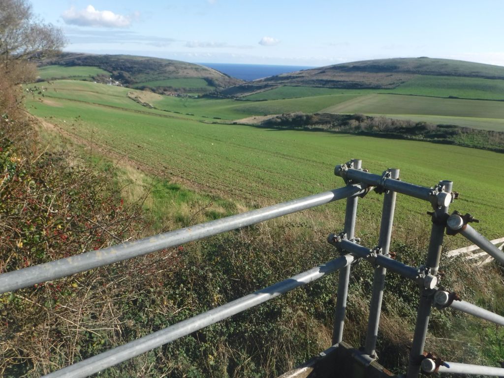
It was a steep walk down to Durdle Door, with lots of tourists struggling back up the hill. It must be said that the views really are worth the effort. Looking towards the west, I could see the size of the cliffs (hills really) that I would need to climb. It looked a bit daunting.
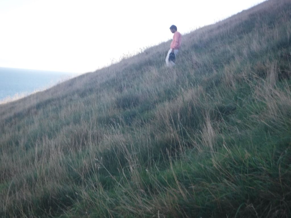
The first one was OK. Just keep it slow and steady, and my poles really help push you up. There were some strange sights, an Indian family walking down in their socks and carrying their trainers. Strange, especially as they kept slipping over and hitting the ground quite hard. The stiff climbs and tricky descents continued. I was really aware of the time, and had identified a number of points where I could escape from the cliff path. I was very keen to keep on the coast path, as each of these escape points would open their own logistical difficulties – like “does Uber even work in Dorset”.
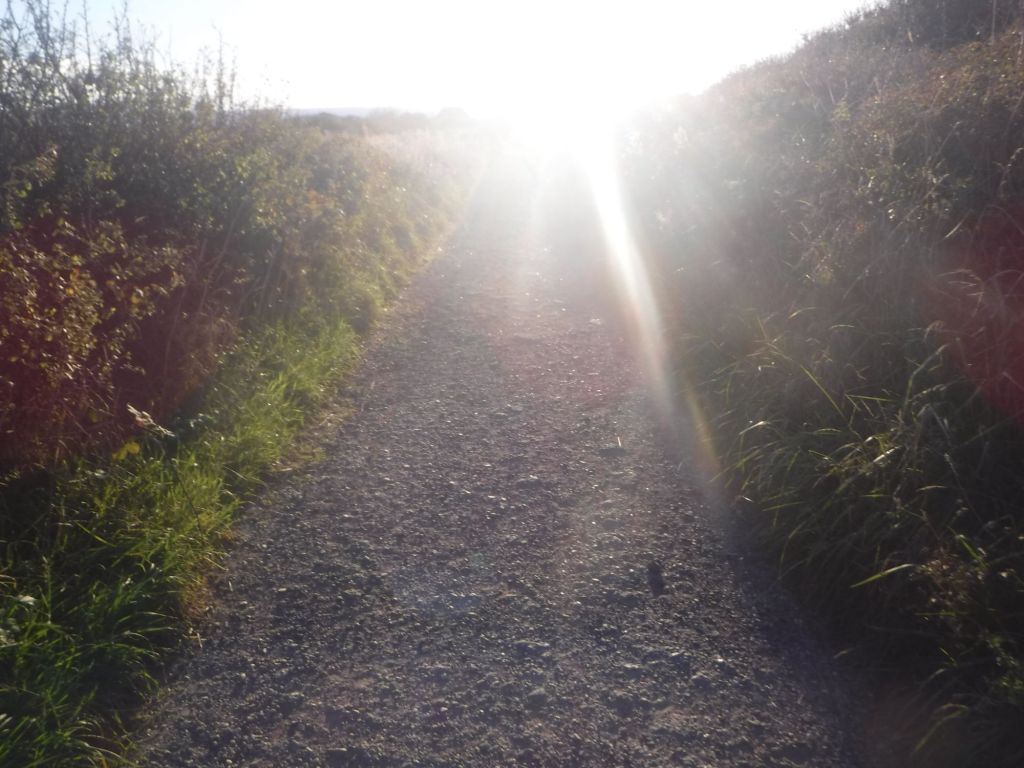
I met a few hikers coming the other way, mainly women, and I’m pretty sure the last pair were full on wild campers, as they were heading up onto a remote section just before dusk. The biggest problem with the sunset, was that it was straight in my face. I could only see a slight slither of the path beneath my cap peak. A slight look up rendered me blind for a few seconds, and slowed me down.

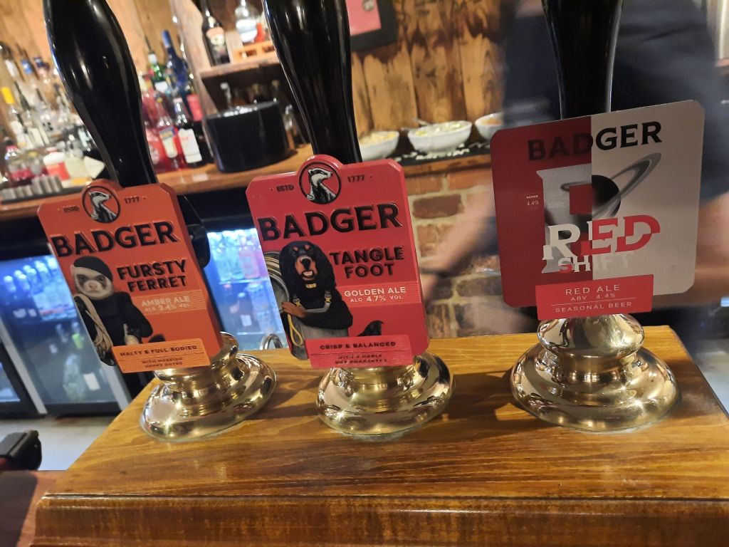
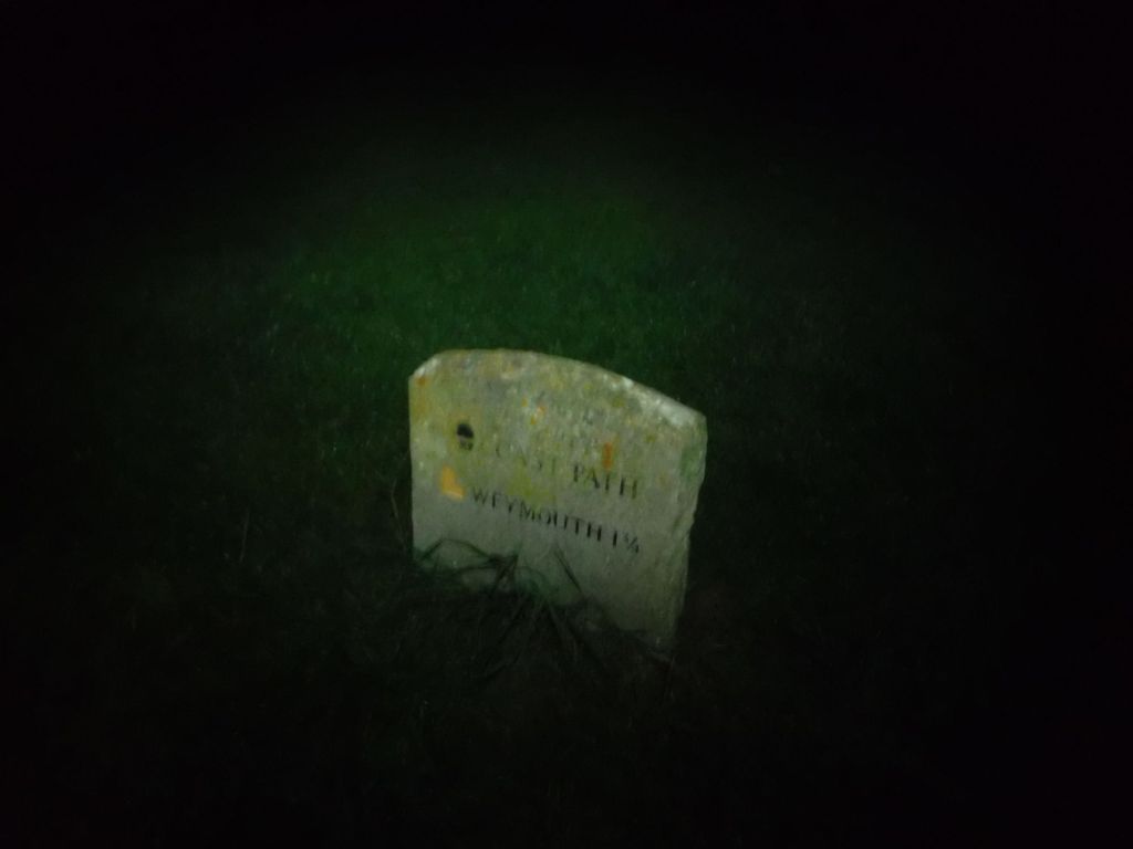
I reached Osmington Mills just before the sun disappeared. I couldn’t find a tap on the map, as I was short of water, but there was a pub. So I substituted water for a pint of bitter shandy, checked my route and got my torch out. It was around 6 km to go, although I was a bit unsure of the actual distance as I had lost confidence in my overall measure, and I was converting the miles from the signposts. Also, I was unsure where in “Weymouth” the signs were referring. I could see that Weymouth had a very long seafront, and if they meant the “Welcome to Weymouth” point, it would really mess up my calculations. At the pub I checked on the train times, and my last train was 20:06. It all seemed a bit tight!

It was easy to follow the well walked paths, as they contrasted well to the bushes. It was trickier when the path plummeted into woods, with wooden walkways and steps to cross the ravines. Also, crossing green areas was tricky, as the path was not clearly defined. I had a head torch, but had failed to bring spare batteries, so I was using it sparingly. At one point I saw a silhouette of a person on the ridge ahead and I was pretty sure they were coming my way, so I switched my headtorch to red, and hung it off my rucsac so I didn’t alarm anyone coming out of the dark. It turned out to be a guy heading out on the path, if he was wildcamping he was travelling really light, but was able to confirm it was 4 or 5km to Weymouth Station. I dropped down the final hill to civilisation, well a fully illuminated but completely empty fairground, and was pretty sure I’d make it to Weymouth. Catching the train was another matter.

I could see a road, with street lights, heading over the hill to Weymouth, but the coast path looked like it stayed low. Unfortunately, due to the darkness, I couldn’t find the path and ended up doing the last section along a shingle beach. There was a very steep shingle bank dropping down to the beach, and I was determined to stay on the top berm. If I accidentally dropped off the edge, it would be an energy sapping climb back up. Eventually I reached the promenade. The word promenade oversells this really. It was a concrete path, high above the actual road, illuminated only by the street lights below. A whole variety of people suddenly appeared from the darkness as I walked along.
I had used Google Maps to navigate to the station, it said it was 1.2 miles along the seafront before heading inland a few blocks. The big issue was it said I would get there at 19:57, cutting the whole thing rather fine. I put a spurt on, and made up five minutes from the Google estimate. Time to buy a big bottle of water before jumping on a London Waterloo train. Unfortunately, I asked the wrong question when getting on the train, asking for Waterloo rather than Clapham Junction. I found myself on the 19:57, rather than the 20:06 slower service. The guard suggested changing at Woking, but a tight change and a futher cancellation, lead me to changing at Southampton for my normal coastal route back. I’m currently at Worthing and should arrive home at quarter past midnight. What an epic day, and I think I will sleep well!
Joyce – I definitely haven’t checked this post – it’s raw and unedited – plenty for you to work on 😀
