I’m back on my Coastal Path “project”. The nights are starting to draw in, and it seems the right time to head out again. I’ve decided to try to finish the Dorset coast before the clocks change at the end of October. With a bit of planning I think I can do it, with my last “day trip” and a couple of overnight excursions. So today was the last of my one day walks, at least in a westerly direction, I have kept Kent in my back pocket, which should give me some winter day walks. Even so, with the shorter days, it’s starting to get dark at 6 ish, I was up and caught the 6:58am train to give me enough walking time.

After changes at Brighton, Worthing and Southampton, I arrived at Hinton Admiral at 10:30am ready to start walking. It will be interesting to see whether I spend longer walking or on the train today.

It had been really hot on the train, but I wasn’t sure whether this represented the outside world, or if the train heating was ridiculously hot. I think it was a bit of both. It was a really nice walk from Hinton Admiral Station, I’d decided not to backtrack my previous route, but found a nice path through wood, with birds, mushrooms and everything. I started to wonder whether following the coast was the best thing for me, as I was missing out lots of nice paths.


I put these negative thoughts to the back of my mind as I picked up a Tesco “breakfast triple” sandwich and a meal deal. You don’t get services like this “walking in the woods”! I soon crossed my previous path at the Cliffhanger Cafe. Everyone seemed to be eating outside, which seemed wise if the cafe was about to plunge down the cliff!

I picked up where I left off and pretty soon I took the wrong path. I was trying to be clever and stay as high as possible, but the path I was hoping to take down turned out to be a vertical cliff face. I had to retrace my steps for a few hundred metres, which is a bit of a pain when you know you have a long day ahead.

As it turned out, it was best to get down on the beach as it led all the way to Mudeford. When you are looking at the OS maps it is difficult to see whether walking along the beach is a viable route, and in this case it was, and avoid a rather tortuous route along the cliff top. The key was to find the best surface to walk on. It proved to be a narrow strip between the soft sand and the large shingle. It was just firm enough to walk on, although if your mind wandered, you find yourself in the soft stuff trying to get back onto a good path. An interesting feature on this on this leg was the way that a small shingle “bar” had been built up, with the sandy beach behind and much lower. Occasionally, bigger waves would break through creating an island of sorts. I had thoughts about whether this was how Chesil Beach was formed – which I should reach in a few more days walking along the Dorset Coast.

I reached Mudford, and the Ferry that should make the short crossing to Hengistbury Head. One of the reasons for starting this leg early in October was that the ferry stops operating on weekdays in “late October”. However, when I checked on Monday the service had been suspended due to works on the landing pier. This seems to be a standard excuse, similar to “leaves on the track” for trains. I walked to the ferry to check it was closed, and it was. There was a very strong current coming out of the harbour and some interesting flows where this outflow met the incoming waves. Definitely too strong to swim across the narrow channel.


I knew I had a 10km diversion walking through Christchurch. Initially, it was through quiet roads, occasionally getting back to the coast. I turned off the road on a footpath onto Stanpit Marsh. It’s a really nice salt marshes, and I had my lunch, marking my first 10km outside the visitor centre. It was strange weather, it had been trying to rain, but was still pretty warm making wearing a coat a pain. After lunch I decided just to take whatever came, just wearing my walking top.


On the next section, the problem wasn’t airborne water, it was standing water. Initially there were a few big puddles to jump over. However, when the path turned off towards Christchurch, there was a boardwalk through the reeds. Straying off the narrow boards would guarantee a wet foot, which I managed to avoid. However, the boardwalk suddenly ended in the middle of a very big Marsh. I could see the footpath gate about 500 metres away. All I could do was try to pick the least wet route. I failed, big time! I found myself upto my knees on a couple of occasions, and once got a foot stuck in the mud. It took a bit of a battle to free it, and I had visions of the fire brigade, the coastguard and the RNLI being called out to rescue me. I sprinted the last bit, not caring about getting wet, but making sure I didn’t get stuck again. I got to the footpath and dry ground, and my boots were squelching with water being forced out on every step.


The path ended up in a disused carpark, next to derelict council offices. I’m not sure what’s going on as they look like quite fancy buildings. I sat on the steps and drained my boots out. I wrung my socks out and put them back on. I did have spare socks, but there seemed little point putting dry socks into wet boots.

I was squelching a bit less when I walked through Christchurch, crossing two bridges, and rivers, into the old part of town. The harbour is fed from multiple rivers, which meant a really convoluted route to replace the closed ferry. I turned towards Christchurch Priory, which is on a small hill and explains how I’ve been able to see it for most of the day, despite not being a massive church. The mill stream alongside the Priory was full of bird life. The ducks particularly were playing up, with one standing on a rock, but pretending to float (the water was very clear), and another jumping off a 2 ft bank with a belly flop, creating a massive splash and half drowning itself.


I found the Wick Ferry, which was operating and a 100 metre (£2) crossing saved me a couple of km walking. The boatman said that they didn’t get much notice that the “big ferry” wouldn’t be operating, and its left a few people without work. He would normally be on the big ferry and did seem slightly impressed that I was walking around.

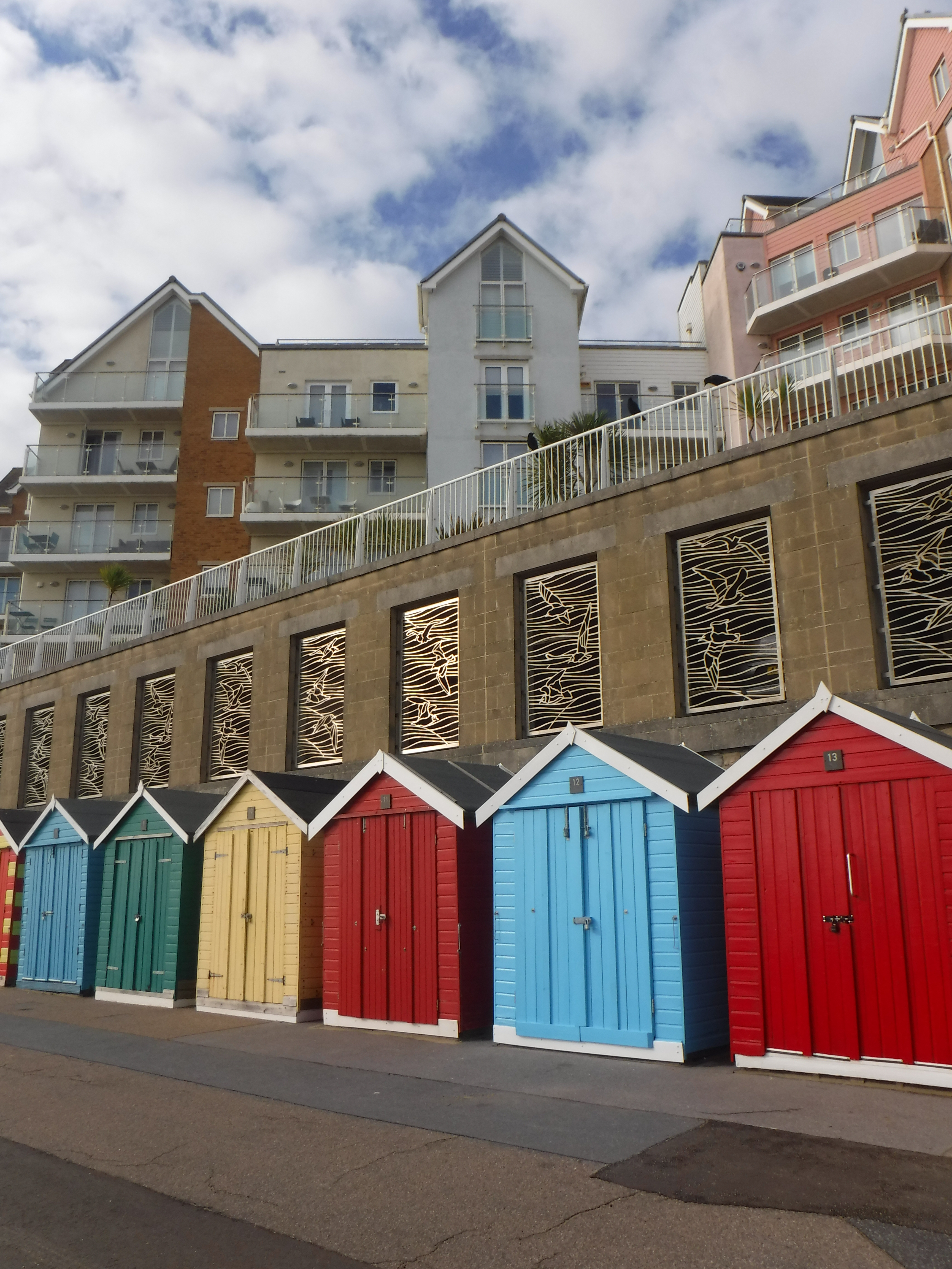
I think finally catching a ferry (it was starting to feel like I was jinxed as its the third one I’ve had to walk around) and my trouser legs and boots starting to dry, improved my spirits. I was heading to Hengistbury Head. Bizarrely, I visited here for the first time three days ago (walking during a family weekend to the New Forest), so I had a good idea what to expect. Although the first thing I saw was an Iron age village which I hadn’t noticed on my previous visit. I had decided to walk up to the highpoint (a heady 36m altitude) and not walk too far in the wrong direction, which I knew was a long sand bar completely full of wall to wall beach huts. The views were great, from both where I’d come from, and where I was going.


After heading back down the hill the inital struggle was walking through very soft sandy paths. It was hard work, and I headed slightly inland to find firmer paths.

At the point where the path met the road, a set of steps took me down to the promenade. The promenade was my route for the next 12 km, which is over two hours of walking. It could have been a bit boring, but I kept my spirits up by trying to keep a good pace. There were some interesting bits, with three cliff railways (not working), two piers, plenty of toilets & water taps, a dog wash, electric barbecues, a big wheel and new groynes being constructed with amazing looking timber piles, just imaging the tree they came from (and they smelt great!).


The most interesting was seeing a seagull dropping a shell (presumably with shellfish inside) to try to break it. It tried from both standing on the ground, and dropping it onto concrete, and flying upto about 5 metres and dropping it. Very clever. When I left it, it was heading of to get a hammer!


After two hours on the promenade, which I think must be the most boring part of the coast path so far, I reached Sandbanks. This is one of the swankiest addresses in the UK and the path heads inland. It wouldn’t do to walk along the beach in front of the posh houses. However, the path takes you to Poole Harbour with great views across to Brownsea Island and Poole. I think Poole Harbour is the second biggest natural harbour in the world, after Sydney Harbour, but I need to check that factoid.

The final stretch was through the houses on the actual Sandbanks island. There are some really nice houses here, some new garish ones but there a lot of nice older houses.

I finished walking at the Sandbanks ferry, and caught a bus back to Bournemouth station. It was a welcome site seeing the bus coming across on the ferry on time. I also spotted a sign for the South West Coast Path that starts on the otherside of the ferry. The path is 1,000 km (630 miles) to Minehead, which is mind-boggling and fully supports my idea of breaking it down into smaller chunks and walking County by County. The bus, The Purbeck Breezer, wasn’t open top (it is sometimes), but still gave a birdseye view on the drive back to Bournemouth – to be recommended.


The trains were all on time heading home, although I feared falling asleep on the Manchester train from Bournemouth. I think in the end I walked about two hours more than the train journey, which isn’t too bad. The journey time let me write this ramble, so maybe a second benefit, depending on your point of view!

Post walk note; I think the diversion around Christchurch Harbour really saved this walk. Without it, it would have been one long walk on a beach, followed by a very long walk on the promenade. Although it may have given more time to head inland (up the cliffs) to see a bit more of Bournemouth. Anyway, I’m glad it’s over, and it was the gateway to my next walks along the Jurassic Coast, when I’ll be complaining of rugged footpaths and hills!
