Burgess Hill to Portsmouth 101km
Firstly (and as normal) an apology. I have walked the Ridgeway from Avebury to Ivinghoe Beacon (90 miles). I did it with two friends, Mick and Paul, over six days. I have started to write a blog, but it’s a real struggle trying to retrospectively write it up. I will add a completely factual summary when I’m back from this trip – promise.
Secondly, apology number two. I normally take my pictures on a point and shoot camera (much quicker for pictures while cycling) and host the pictures on Flickr. However, I’ve found out I haven’t synced Flickr for a month, and I need patience and a good Internet for that (and it’s €6 on this campsite!). So for the first blog I’m limited to phone pictures (of which there aren’t many) until I can sort my IT issues.
On to this mini-break. I don’t think I’ve bike toured anywhere since I cycled “my” Coast to coast ride in 2021. I’d started to feel withdrawal symptoms and a nagging concern I wasn’t up to it. This needs a remedy! So the plan is to get a ferry to Cherbourg and cycle along all of the D-Day beaches. Its going to be a holiday and visit as many monuments and museums as possible, as it is the 80th anniversary.
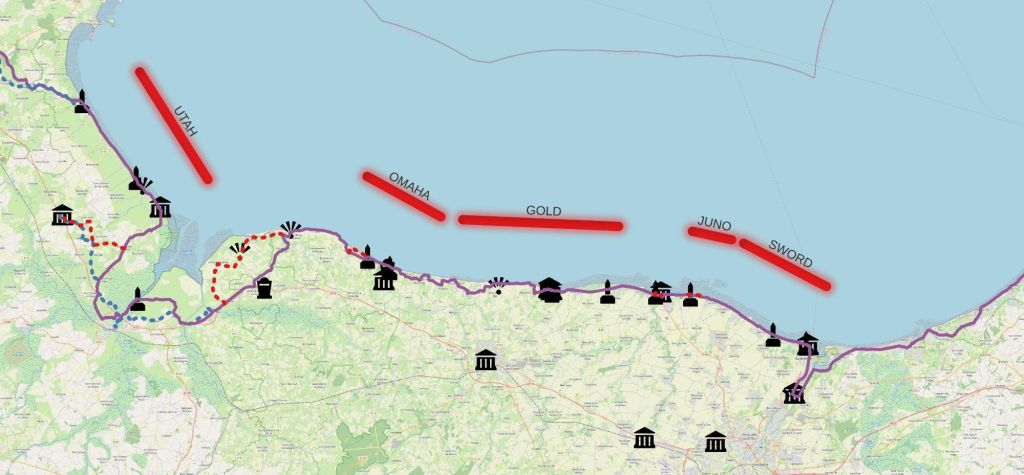
Upon reflection, it’s a strange time to visit France without it being about the Olympics. So I watched Tom Daley win a silver medal in the synchro diving before hitting the road. I wish I could have waited to see Tom Pidcock win Mountain Biking Gold but I had 100km cycle to the ferry. I’ve recently bought a Garmin bike computer/sat nav, but I’m not fully confident in its choice of routes (they are OK, but on my last ride tried to route me up a private drive, needing a considerable diverson). So I used the Cycle.Travel site to create a route to Portsmouth, but all north of the South Downs. The most common route is, down to Brighton and head west along the coast. I’ve done it a number of times and fancied a change.
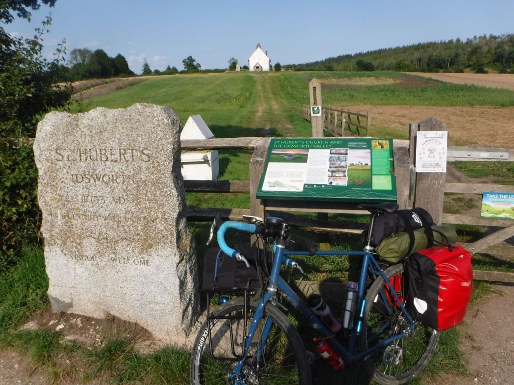
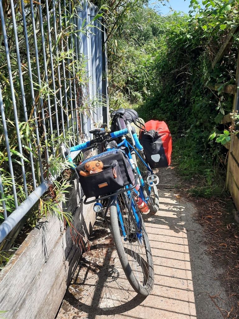
The route was superb. All on quiet country lanes, really good quality off road tracks and only one hill that beat me (I’ll blame it on the huge load I’m carrying). I think no more than 30 cars passed me on the road all day. Not bad for a 100km route through the “completely overcrowded” southeast of England! (This doesn’t include cycleways along busy roads – but it was still a pretty good quality route.)
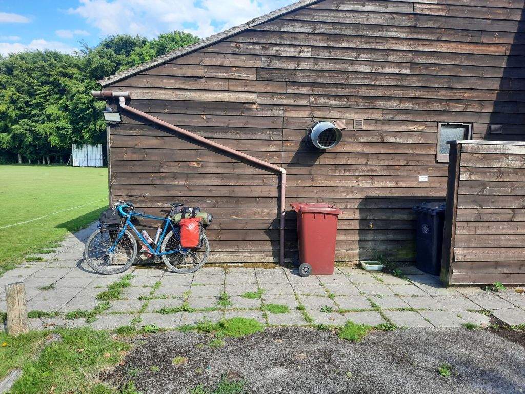
It was a boiling afternoon, which required ice cream (x1) and cold drinks (x2) to supplement my cheese and pickle sandwiches. I also utilised a skill from the Camino, when I found a water tap at a village sports club. To be fair it was marked on OpenStreetMap, but it’s still a skill! I walked all the way around the building assuming there was a mapping error.
Made it to the ferry in good time, and had a chat with other cyclists in the bike shed. A couple heading to the Olympics (by train to see rowing and canoeing) before heading to the Atlantic Coast for a cycle trip.
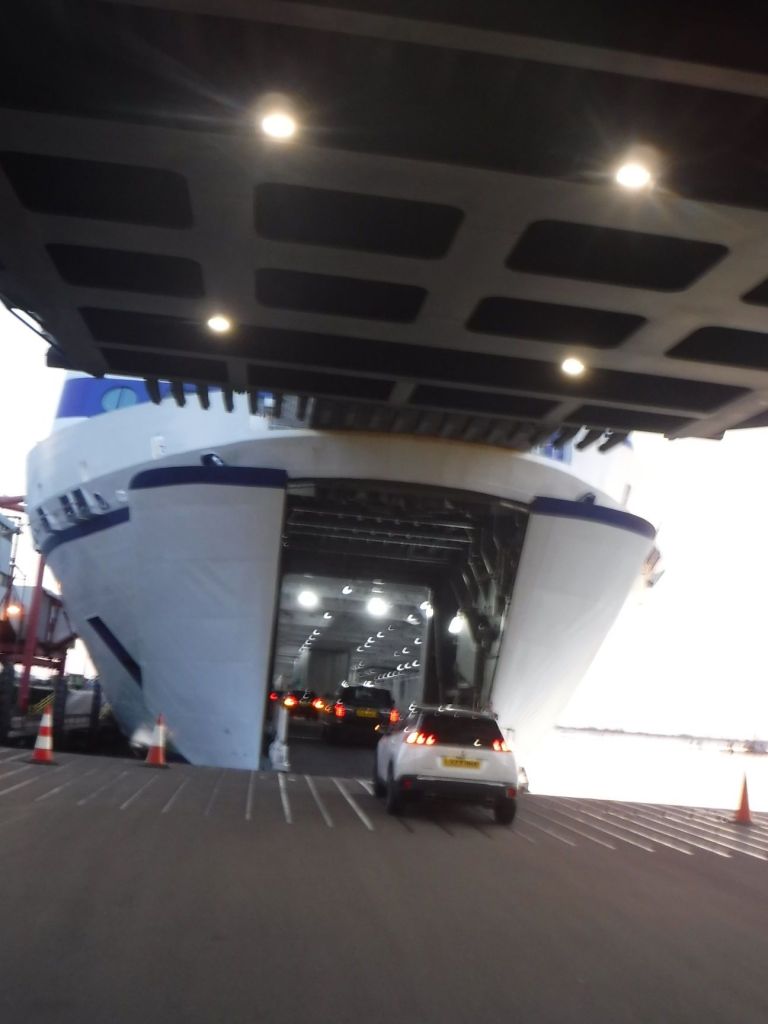
I’ve only booked a seat for the overnight crossing but I’m really tired so I can’t see a problem (for me)! The ferry doesn’t seem to be very crowded so should be a nice crossing to Cherbourg and let me recover to head to Utah beach tomorrow.


Yes, be careful where your Garmin takes you! I had a similar experience with mine in Sicily a few years back. It took me off a perfectly good road and tried to send me down a number of (locked) gated overgrown lanes.
LikeLike
Yes, be careful where your Garmin takes you! I had a similar experience with mine in Sicily a few years back. It took me off a perfectly good road and tried to send me down a number of (locked) gated overgrown lanes.
LikeLike