I worked hard last night and came up with a plan – take the train to Hamburg. That’s quiet easy until you factor in a fully loaded bike. For all the local services I would need to change at least once – either at Bremmen, or Onsabruck. I knew Bremmen was too far, but Onsabruck to the south east was less than 200km away, so the plan was set (all it needs is an English speaking ticket seller!).
This plan gives me time to blast out most of the distance tomorrow, and then head into town buy a ticket and be in Hamburg bang on target! However, I have found a possible flaw in my later plan, in Iceland. None of the Highland roads have opened yet – it seems summer is unusually late. It’s still a week or so away so things might change, but I was planning the Kjlour Route to cross between things I wanted to see in the north, and things in the south. If that is still closed I will have to decide which direction to travel around the ring road.
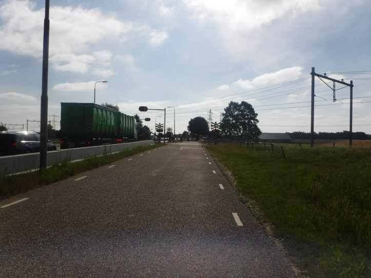
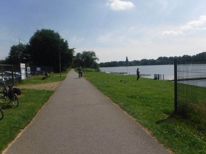
Back to today, I packed up slow but still got away before 9. Straight out of the campsite onto a cycle path, which soon came to a spectacular level crossing with a separate gate for bikes – cyclists are so integrated into the system.
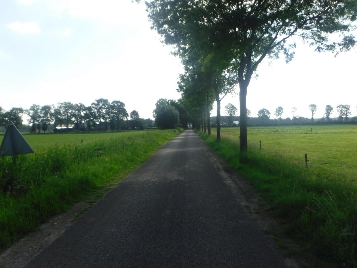
I initially took some “green” signed cycle paths, which we just very quiet country lanes with no special segregation. They were clearly for enjoyment as the routes were longer than those with the red cyclists signs. I carried on to Hardenberg, bought some lunch and other supplies, including another of Tony’s chocolate bars.
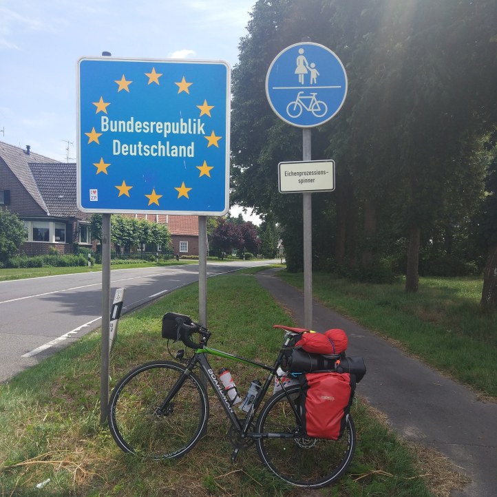
Next stop was the German border (definitely a frictionless border), and headed towards Itterbeck. There was a big difference in cycleways, the German ones are a bit more like in Britain, a bit of a combination of painted lines in towns and using the footpaths along busy roads. The big difference from home is that you get a lot of right of way, across side roads and in some towns (although nothing like the Dutch system). The downside is that the paths are sometimes in bad condition, which give bike and rider a pounding. On the whole much better than British paths, and once you get into the signs it is easy to make good speed without going on the road. I ended up stumped a few times and the normally the path is just flipped unoticed to the other side of the road, at some point earlier.
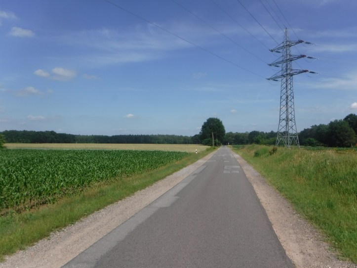
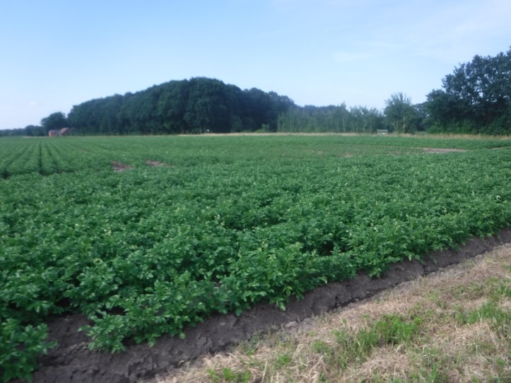
There was a nice variation of scenery, with forests, open countryside and farmed fields through this part of Germany – potatoes seem the crop of choice. There was also a good bit of wind, but according to all the wind turbines it was only coming onto my left side (generally). The wind was from the north, I knew this as I have added a compass to my navigation equipment having headed off in the wrong direction a few times yesterday.
I had spotted a campsite on my route to Onsabruck, about 25km short, in a place called Westerkappeln. The website sounded very good, a beer guesthouse by the side of the Mittellandkanal (I do like how the German words are all joined up – even my terrible spell checker gives in). In all it was as 145 km ride, and I had some good bursts of speed between bus stop rest points.
I was a bit low on water, I had been getting bottles filled at coffee stops but hadn’t stopped today, so pulled into a Lidl in Hopstein. I decided to buy dinner at this point, even though there was quite away to go, but it all fitted into my bags, except for a vast tub of Rocket which had to go on my back. Interestingly, and fortuitously, I had bought way too much water. After filling both bike bottles, drank as much as I could and still had a litre to go in the bag.
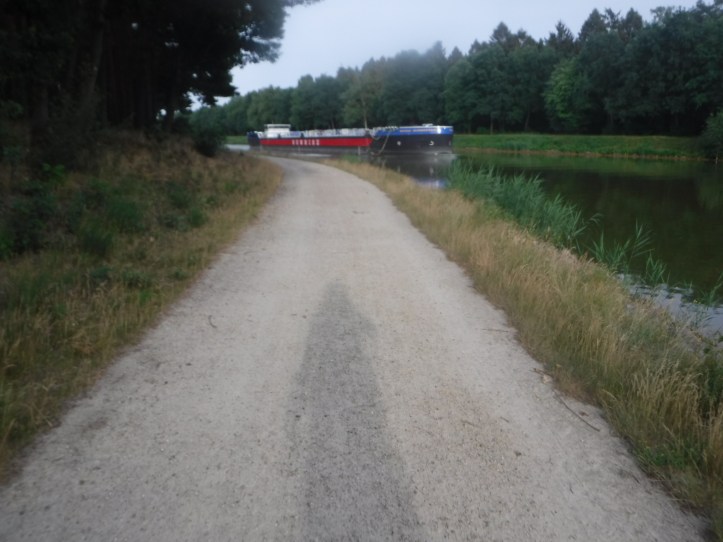
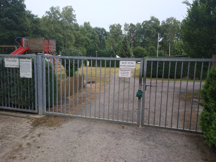
As the day went on it was getting to be hard work and breaking it into chunks helps. Although, once I get over the 100 km barrier, an extra 40km doesn’t seem so bad. Time was getting on and I had targeted to get to the site by 7:30. The country roads of the last few miles (mixing units!) put paid to that. Loads of perfect lanes for Sunday amblings, or horse riding – but very bumpy and uncomfortable for the final bits of a long ride. The map had shown a straighter alternative, which turned out to be a sandy track along the canal, which was much worse. I got to the site before 8:00 and it looked like a good one (lots of signage and arrows), but was just completely locked up. It seems the beer house opens on friday-sunday, perhaps nobody camps without a beer. Where to stay?
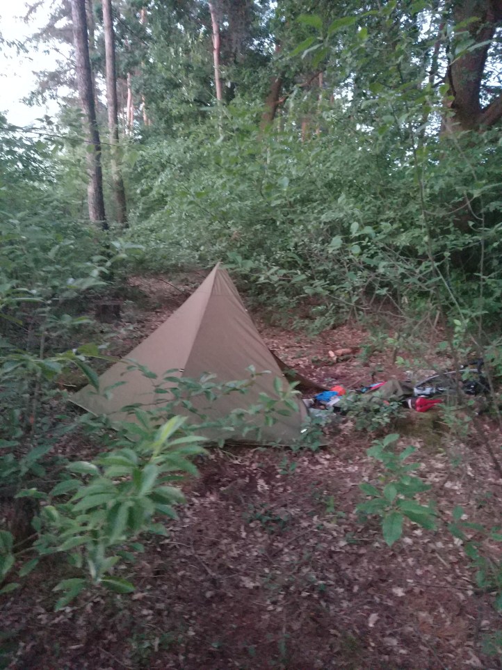
So, dilemma, but easily solved as I was in the middle of a forest, had plenty of supplies, and remarkably water to cook with, so I went off in search of a likely spot. I’d seen a narrow bit of woodland between the canal and fields, that could hide me but didn’t look too precious to anyone. I thought I’d found a suitable clearing and then realised how big my tent is. I managed to fit it in, and the benefit of having my neoprene underlay was tremendous. Just lay it out to make a working space on the forest floor. I cooked dinner, and slept – quite well I think, but I was more aware of noises in the night!

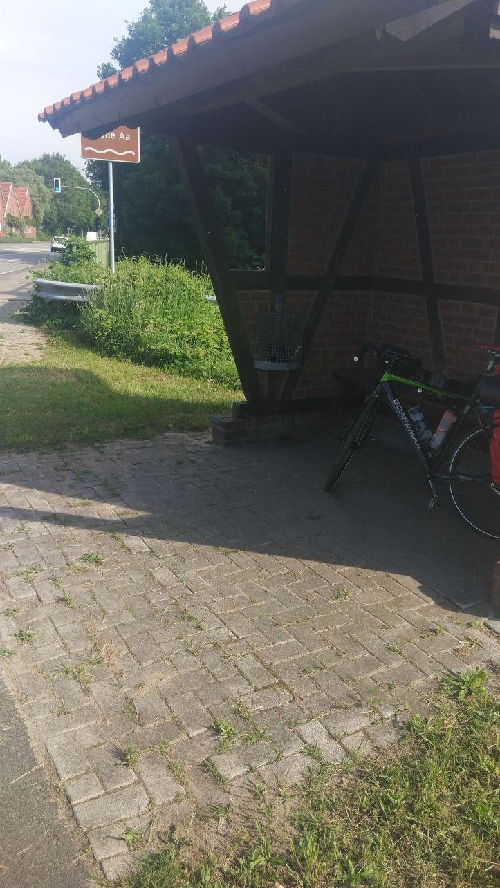
On the joined up words front “Eichenprozessionsspinner” (the German border photo) had me stumped and I was about to refer it to Dörte when I worked out that it is oak processional moth. You don’t appear to have encountered them.
LikeLike