Managed to get up, coffee, porridge, pack up, sort out the rubbish and leave by 8:30 which must be a record (but I was aiming for 8:00!). Straight out of the campsite into rush hour traffic, trams and everything (everything being one way roads where bikes can go in contraflow). I decided to give up on my map and follow my nose – or rather stick to any cyclists that looked to be heading anywhere near the station or river like glue.
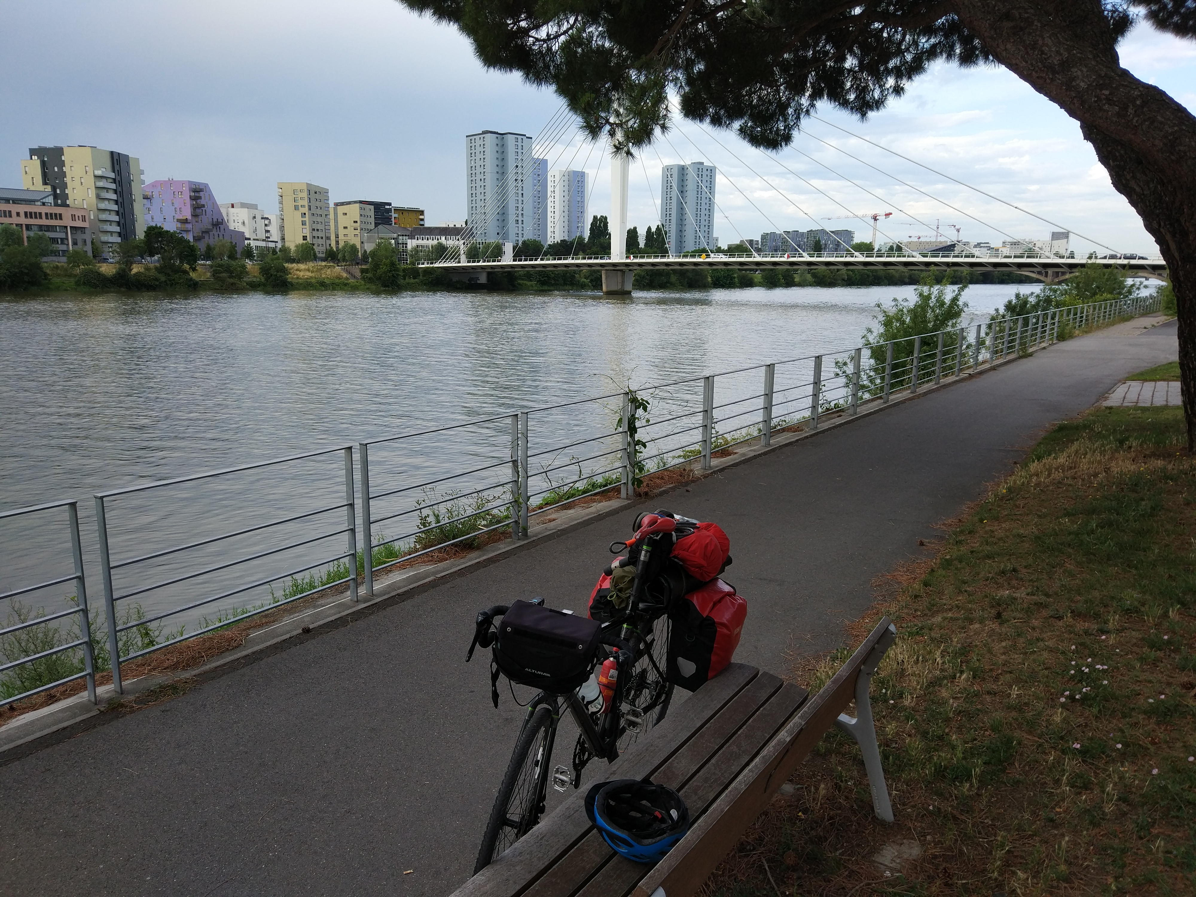
Eventually got down to the river and the “Le Loire a Velo” (or the Eurovelo 6) cycle route. It was an incredibly well signposted and usually on its own path, well away from any traffic. Incidentally, I didn’t see much of Nantes, but looks really nice, very cycle friendly and the campsite is right on the tram line into Centre Ville – I’ll have to go back.
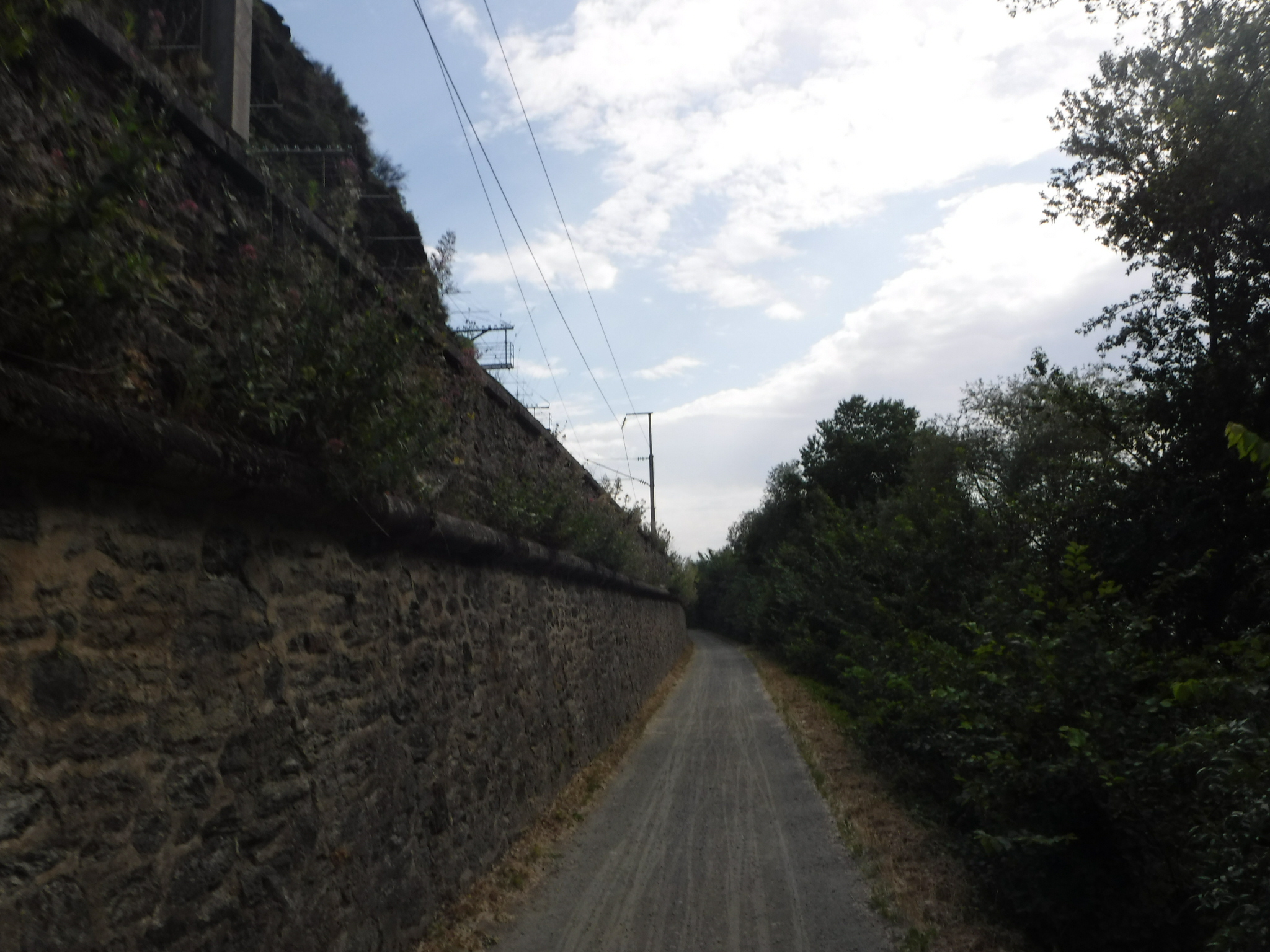
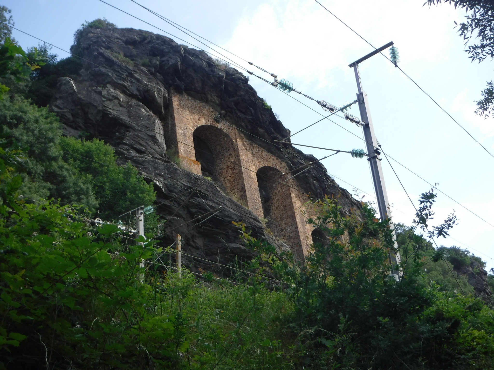
Onto the Loire, initially the route took the north bank, very quiet isolated tow path, often stuck right between the railway and river. With the TGVs passing 4metres above you a vertical drop to the 2m wide cycle path, and another 6m drop to the river. I tried to catch a photo of a TGV passing, but they were too quick! (or I was too slow as they generally hooted a warning – presumably a notice to press the shutter).
The first major town of note (ie it had a Boulanger with sandwiches and easy parking) was Oudan, and I picked up an early lunch. I’d already seen far more touring cyclists than the rest of the trip put together, strangely all near the towns and nearly nobody passing in the opposite direction in the “wilds”. I had planned to cycle to Gennes today – 120km – but I don’t know why. By about 40km I was sure this wasn’t going to happen! At the town of Ancenis the path crossed over the bridge to the South side. There were works going on with confusing signs saying bikes had to be walk across, or they were banned altogether – I cycled over on the pavement as a compromise.
Found a few mountain bike (vtt) shortcuts to avoid the odd meander in the river, and to save a bit off climbing where (I expect) the route changed from on top of the flood barrier, down to normal level and back up again. This always needs a getting out of the saddle to power the panniers up the ramp.
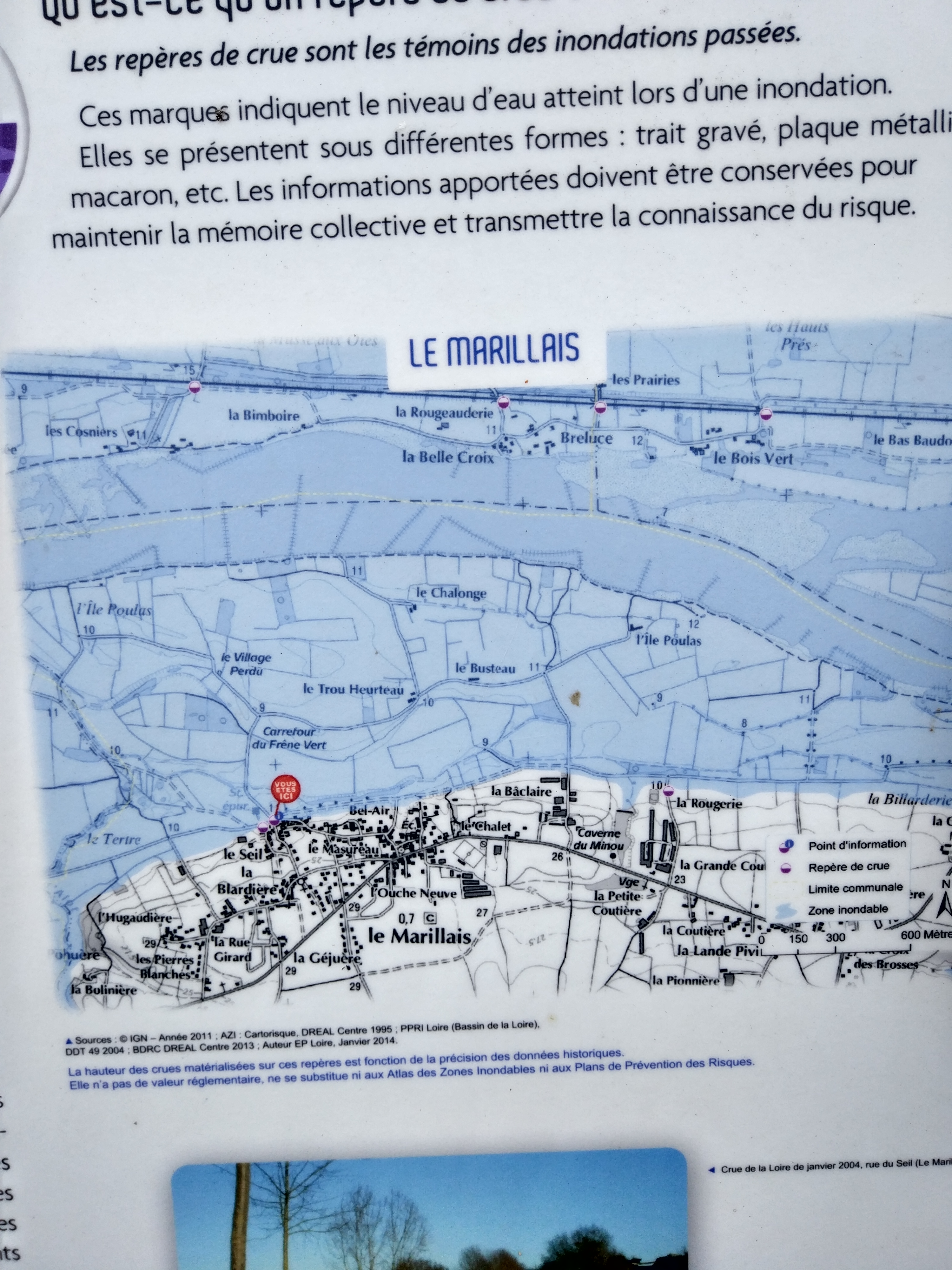
On the subject of flooding, came across a level marker – maybe 1km away from the river, and the river level must have been many metres lower. At this point the 1910 flood would have been well over my head (and more recently 1982). I digress, I got to Montjean-sur-Loire for a coffee and a Coke, and decided to only do 10km more, to Chalonnes-sur-Loire, where there was a campsite and a supermarket. It had been over 30°c all day and the heat had taken its toll. That said as soon as I decided on 10km the cycling became much easier.

You can see where this picture on the map below – that’s a lot of water!
A really good campsite, with a perfect pitch on the river, a secure cyclists room with charging sockets and a fridge – all for €7. The €24 I was charged earlier in the week is being to look fishy. Granted this site doesn’t have toilet paper or toilet seats, but you can by a lot of toilet seats for €17!

